
Nepal has a total area of approximately 147,181 to 147,516 square kilometers (km²). It extends roughly 800 to 885 kilometers (km) from east to west and about 150 to 250 km from north to south.
Nepal is a landlocked country measuring about 885 kilometers (550 miles) in length from east to west along its Himalayan axis and 150 to 250 km (93 to 155 miles) from north to south. The country lies in the southern slopes of the Himalayan mountain ranges between two countries, China to the north and India on the other three sides.
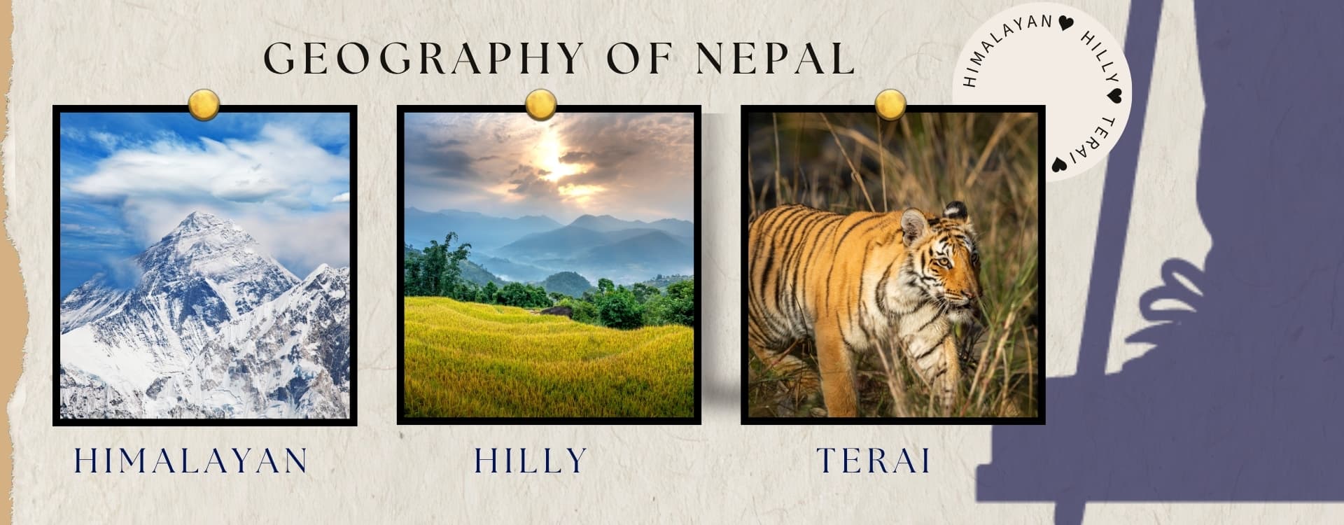
Nepal is divided into three geographical regions: the Mountain Region, the Hilly Region, and the Terai Region. The Himalayan region covers 15%, the Hilly region covers 68%, and the Terai region covers 17% of the total area of Nepal.
Here is a quick breakdown of Nepal's key measurements:
Total Area: 147,181 km² (or 147,516 km² in some official documents). Opinions on the exact total area of Nepal are mixed regarding older versus newer data.
Length (East to West): 800 km - 885 km and Width (North to South): 150 km - 250 km
International Borders: India: 1,751 km and China: 1,236 km
Water Bodies: 2.8% of the total area
The country has a roughly rectangular or trapezoidal shape.
Land boundaries span across high Himalayan ranges in the north to the flat plains of the Terai in the south.
Despite covering less than 0.1% of the Earth’s land surface, Nepal has the most varied and extreme geography on the planet. This guide will cover Nepal’s physical geography with information on its size, regions, elevations, rivers, climate, conservation areas, and more. You can explore more detailed topographical and physical features as well.
Nepal Distance in Km
Nepal stretches approximately 800 to 880 kilometers (500 to 547 miles) from east to west and 150 to 250 kilometers (93 to 155 miles) from north to south, covering a total area of 147,516 square kilometers.
Country Dimensions
- East to West length: ~800–880 km (500–547 mi)
- North to South width: ~150–250 km (93–155 mi)
- Total land area: 147,516 sq. km (56,956 sq. mi)
Key Distances from Kathmandu
- Kathmandu to Pokhara: ~147 km (91 mi)
- Kathmandu to Biratnagar: ~237 km (147 mi)
- Kathmandu to Indo-Nepal Border: ~106 km (66 mi)
Nepal’s Total Area in KM and Miles: How long is Nepal in kilometers?
Nepal covers a total area of approximately 147,181 square kilometers (56,827 square miles). It is the 93rd largest country in the world by area. The country extends about 800 to 885 kilometers (500 to 550 miles) from east to west along its Himalayan axis, and is 150 to 250 kilometers (93 to 155 miles) wide from north to south. Likewise, the country is only about 9% larger than the state of Arkansas (134,856 sq km) in the USA and about 60% the size of the United Kingdom.
Out of the total area:
- Land area: approximately 143,351 sq km
- Water area: approximately 3,830 sq km is made up of rivers, lakes, and glaciers
The country stretched about 885 km (550 miles) from Mechi in the far east to Mahakali in the far west. Similarly, its width from north to south varies between 145 km and 241 km, averaging around 193 km.
Where is Nepal located?
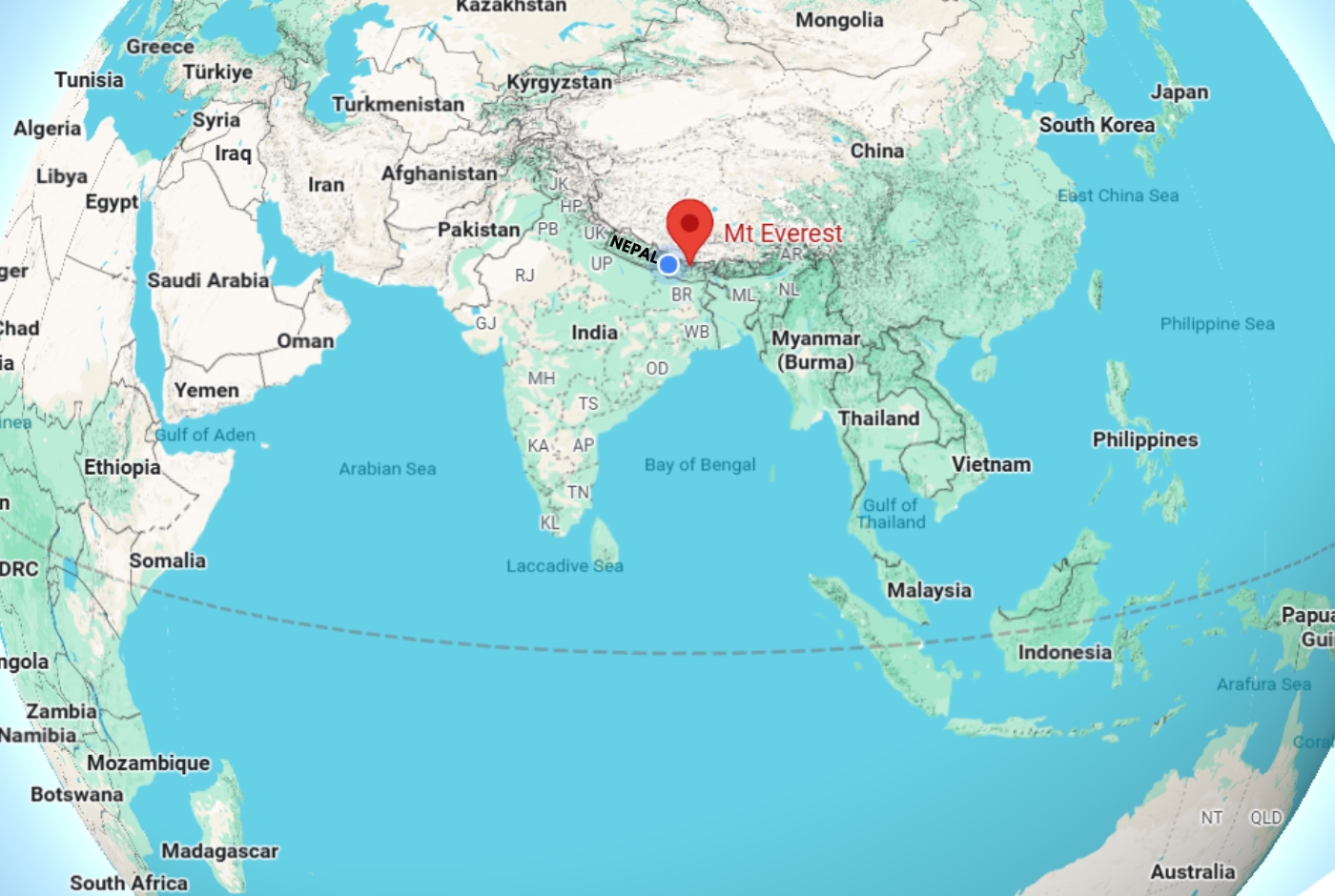
Nepal is a landlocked country nestled in South Asia. It is located between latitudes 26°22’N and longitudes 80°04’E and 88°12’E in the central stretch of the Himalayas. As Nepal is completely landlocked, it has no direct access to the sea and appears as a narrow, rectangular strip running northwest to southeast, between China and India.
This geographic fact shapes most of the country’s trade, transportation infrastructure, and historic relationships, as all imports and exports must pass through these neighboring countries, India and China.
What are the three major geographical regions of Nepal?
The three major geographical regions of Nepal are the Terai region, the Hilly region, and the Himalayan region. These parallel geographical regions are distinguished by altitude, terrain, and climate rather than administrative boundaries.
The Himalayan Region
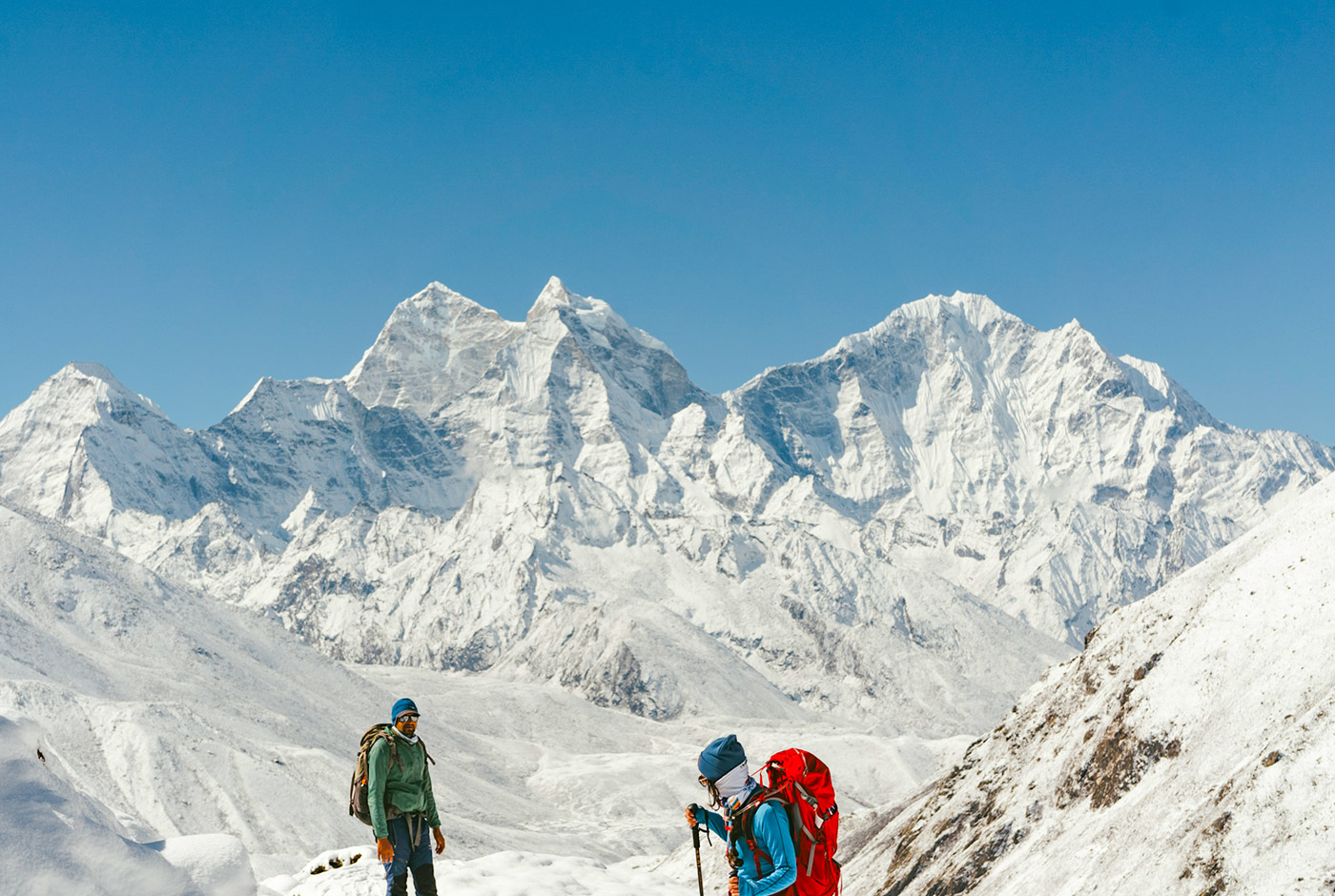
The Mountain or Himalayan region ranges from about 3,000 m to 8,849 m in elevation. It contains eight of the world’s tallest peaks above 8,000 m, including Mt Everest, Kanchenjunga, Lhotse, Makalu, Dhaulagiri, Manaslu, Cho Oyu, and Annapurna I.
In addition, it covers about 15% of Nepal’s total land area and is home to about 6-7% of the total population. This region features rugged terrain, thin air, and extreme cold and is the source of Nepal’s major glaciers and glacial-fed rivers.
The Hilly Region
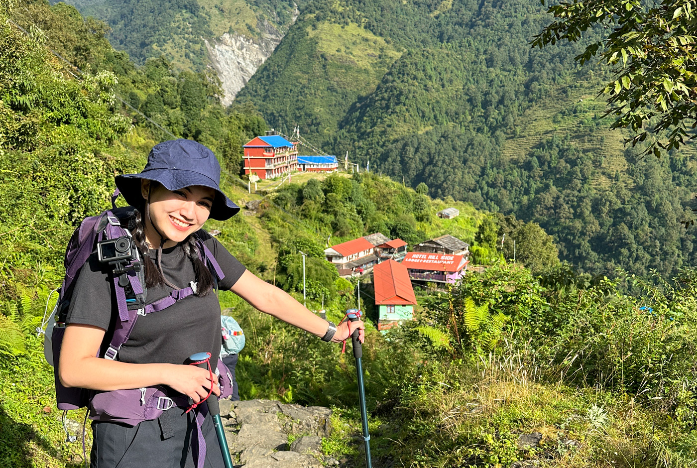
The Hilly or Pahad region ranges from about 600 m to 3,000 m and sits between the Terai and the high Himalayas, including the Mahabharat range, the Chure Hills, and fertile valleys such as Kathmandu and Pokhara.
This region covers 64 to 68% of the total land and is home to roughly 43% of the total population. The Pahad region is characterized by rolling hills, ridges, cliff sides, and deep valleys carved by rivers and streams over time.
The Terai Region
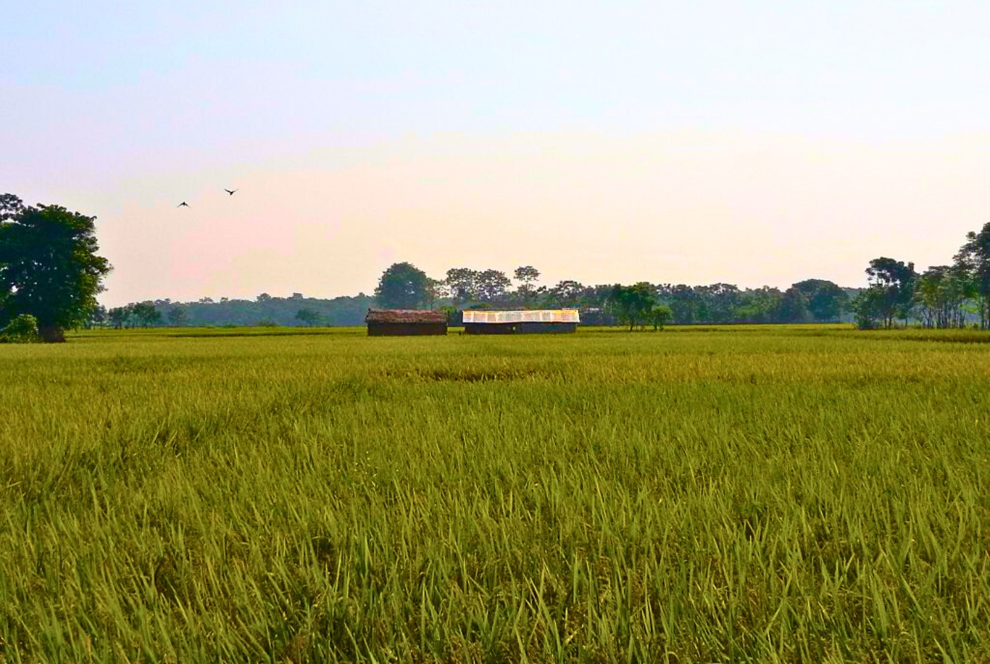
The Terai region ranges from about 67 m to 300 m above sea level, stretching across southern Nepal and northern India. The land is flat and fertile and covers about 17% of Nepal’s total land area.
In addition, the Terai region is the most populated and agriculturally productive region among the three. It is often named the “granary of Nepal” due to its fertile soil that mostly produces crops like rice, wheat, sugarcane, and jute.
Highest and Lowest Points of Nepal
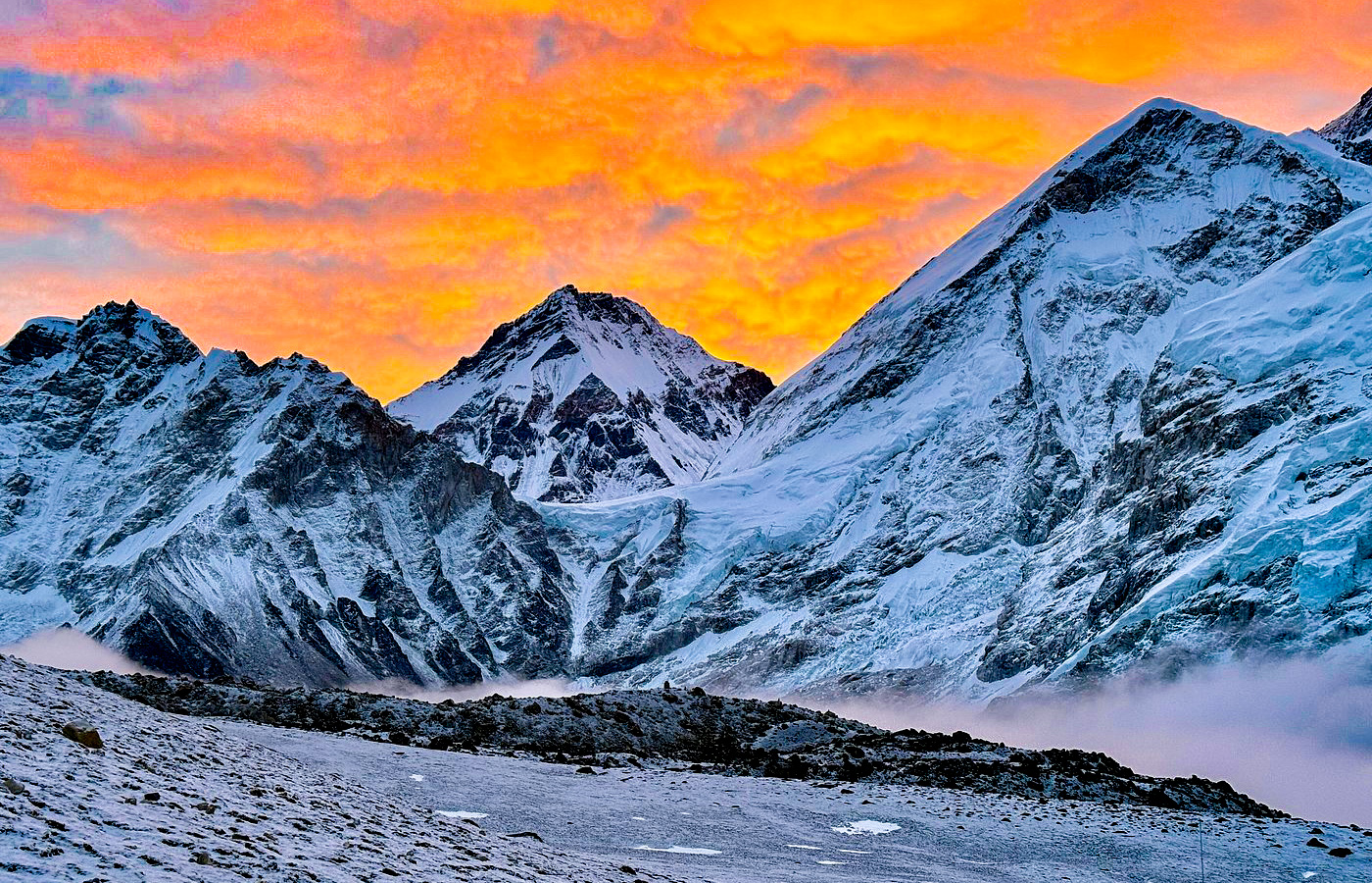
The highest point of Nepal is Mount Everest peak at 8,849 m (29,032 ft), which is the tallest mountain above sea level in the world. The peak is located between Nepal and China and is part of the Mahalangur Himal section of the Himalayas.
In addition, the lowest point is Mukhiyapatti Musharniya, Dhanusha, sitting at an elevation of 59 meters above sea level. Previously, Kechana Kawal in the Jhapa District was considered the lowest point of Nepal at 70 m above sea level.
This confirms Nepal’s elevation range of nearly 8,800 m. The country is often described as having more climatic and ecological diversity than countries many times its size.
Climate Zones in Nepal by Altitude
Nepal’s climate changes dramatically over short distances, featuring several distinct climatic zones as the temperature usually drops with elevation:
- Tropical/Subtropical Zone (below 1,000 m): Found in the Terai and lower Hilly region, the climate is hot and humid with mild winters.
- Temperate zone (1,000-2,000 m): Places like Kathmandu Valley have mild summers, cool winters, and a comfortable year-round climate.
- Subalpine zone (2,000-3,000 m): Where temperatures are cooler with coniferous forests and short growing seasons.
- Alpine zone (3,000-5,000 m): High-altitude, cold, and barren terrain above the tree line, which is used as grazing land or alpine meadows.
- Arctic/Nival zone (above 5,000 m): Extremely cold region with year-round snow, low temperatures, minimal human habitation or vegetation.
Major Rivers and Water Systems In Nepal
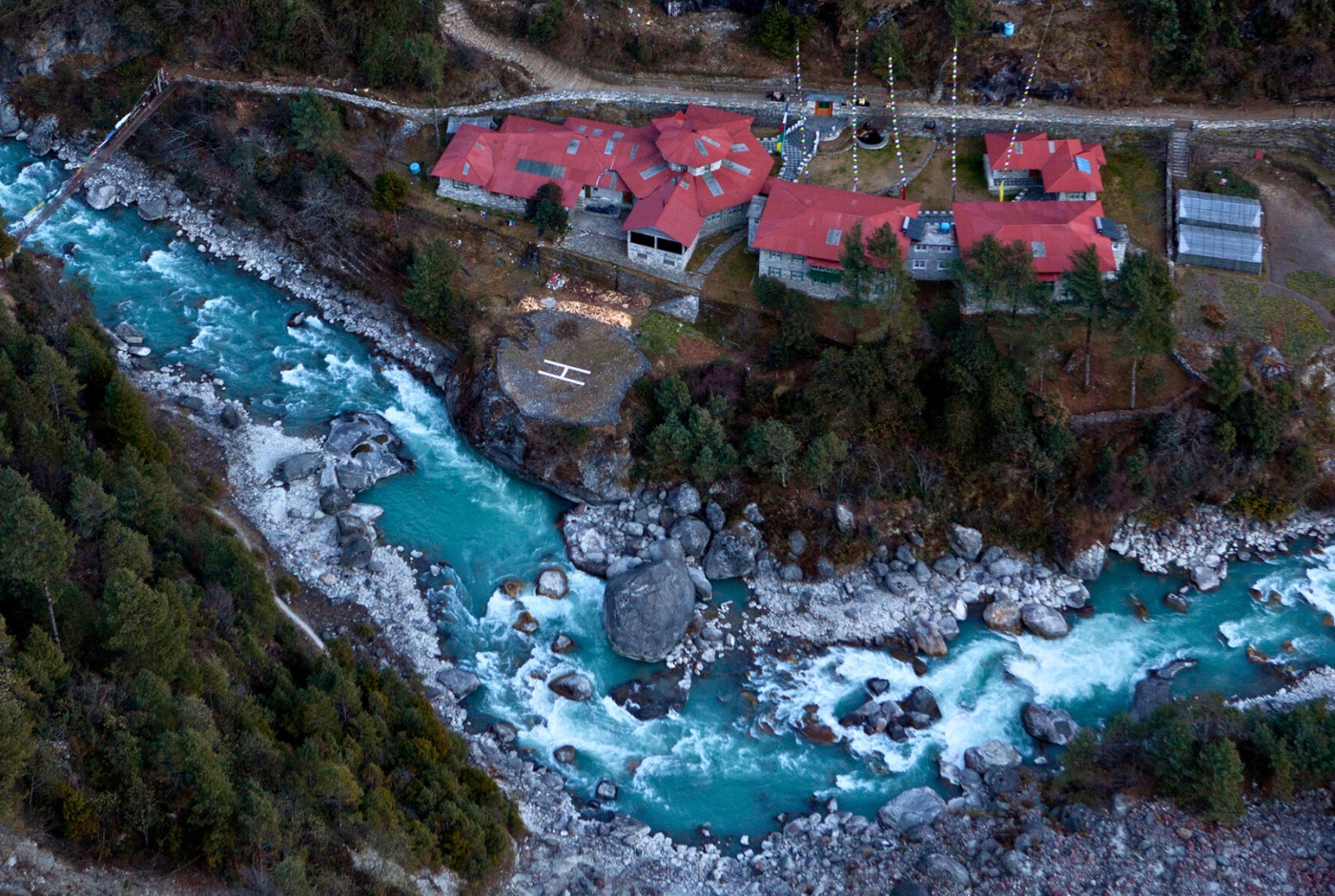
Nepal is home to over 6,000 rivers and rivulets, mainly organized into four major river systems: Koshi, Gandaki, Karnali, and Mahakali. These rivers originate from Himalayan glaciers, snowmelt, and monsoon downpour, collectively spanning more than 45,000 km in length, and ultimately merge into the Ganges River.
Here are the major river systems of Nepal:
- Koshi River System (Saptakoshi): The Koshi River in eastern Nepal is the largest river system in the country. Its main tributaries are Indravati, Bhote Koshi, Tama Koshi, Likhu, Dudh Koshi, Arun, and Tamur.
- Gandaki River System (Narayani/Saptagandaki): The Gandaki River is the biggest river system in central Nepal. Its seven major tributaries are Kali Gandaki, Trishuli, Budhi Gandaki, Marsyangdi, Madi, Seti Gandaki, and Daraundi.
- Karnali River System (Ghaghara): The Ghaghara River in western Nepal is the longest river flowing within Nepal. The major tributaries are Sani Bheri, Thuli Bheri, Seti, Humla Karnali, Mugu Karnali, Tila, and Kawadi River.
- Mahakali River System: The Mahakali River System is the border between Nepal and India. This river system is fed by several significant transboundary tributaries such as Chamelia, Surnagad, and Rangoon from the Nepal side and Saryu, Goriganga, Dhauliganga, and Ladhiya on India’s side.
Besides this, Nepal also has smaller rivers originating in the Chure Hills that flow only during the monsoon season.
How does Nepal’s Geography Affects its agriculture?
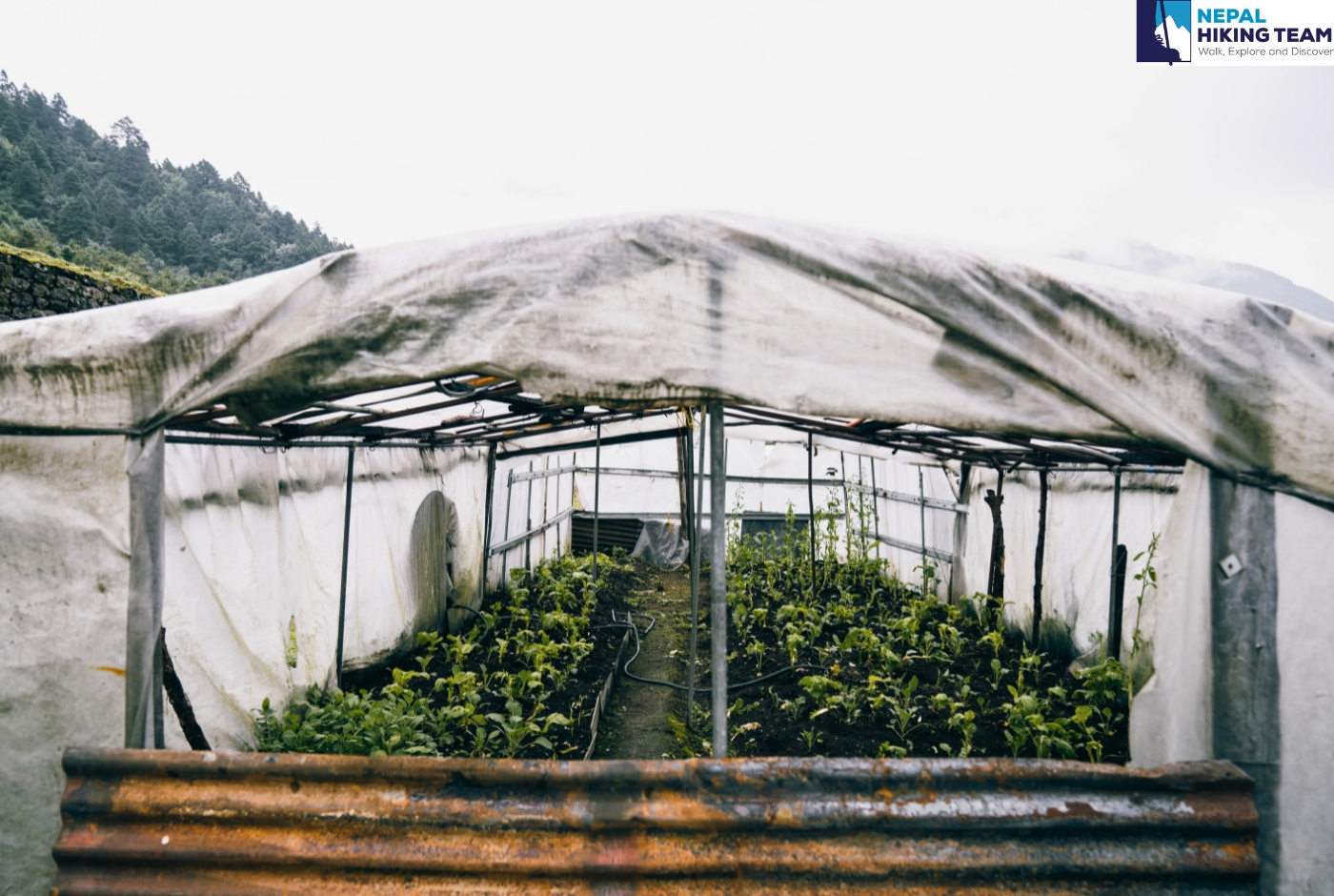
Nepal’s agriculture is directly shaped by its three-tiered landscape and altitude-driven climate zones. In the Mountain region, the short growing season and thin, rocky soil limit farming largely to hardy crops like potatoes, buckwheat, and barley. Similarly, livestock herding is limited to yaks, sheep, and goats.
Moving on, in the Hilly region, the farmlands are carved into the hillside, creating terraced farming for crops like maize, millet, potatoes, and vegetables. This type of farming method also helps control soil erosion on steep slopes. Lastly, the Terai region is a flat and fertile land with reliable irrigation from major rivers. This makes the region ideal for rice, wheat, maize, sugarcane, and jute production.
This varied altitude-based agricultural zoning means Nepal can produce a wide range of crops. The land produces subtropical fruit to alpine grains, depending on the landscape and elevation.
How much land do conservation Areas and National Parks Cover?
In Nepal, the Conservation Areas and National Parks cover approximately 34,420 sq km (13,289 sq mi) of land. As per Nepal’s Department of National Parks and Wildlife Conservation (DNPWC), the country has:
- 12 National Parks
- 1 Wildlife Reserve
- 1 Hunting Reserve
- 6 Conservation Areas
- 13 Buffer Zones
Here is a list of 12 National Parks in Nepal with their total land coverage:
|
National Park |
Location/Region |
Total Land Coverage (sq km) |
Established |
|
Shey Phoksundo |
Dolpa, Mugu |
3,555 |
1984 |
|
Langtang |
Rasuwa, Nuwakot, Sindhupalchok |
1,710 |
1976 |
|
Makalu Barun |
Sankhuwasabha, Solukhumbu |
1,500 |
1992 |
|
Sagarmatha |
Solukhumbu |
1,148 |
1976 |
|
Chhayanath |
Mugu |
843.36 |
2025 |
|
Bardiya |
Bardiya, Banke |
968 |
1988 |
|
Chitwan |
Chitwan, Parsa, Makwanpur, Nawalparasi |
952.63 |
1973 |
|
Parsa |
Parsa, Bara, Makwanpur |
637 |
2017 |
|
Banke |
Banke, Salyan, Dang |
550 |
2010 |
|
Shuklaphanta |
Kanchanpur |
305 |
2017 |
|
Shivapuri Nagarjun |
Kathmandu, Nuwakot, Sindhupalchok |
159.00 |
2002 |
|
Rara |
Mugu, Jumla |
106.00 |
1976 |
Here is a list of six conservation areas of Nepal:
|
Conservation Area |
Total Land Coverage (sq km) |
Established |
|
Annapurna Conservation Area (ACA) |
7,629 sq km |
1992 |
|
Gaurishankar Conservation Area (GCA) |
2,197 sq km |
2010 |
|
Kanchenjunga Conservation Area (KCA) |
2,035 sq km |
1997 |
|
Api Nampa Conservation Area (ANCA) |
1,903 sq km |
2010 |
|
Manaslu Conservation Area (MCA) |
1,663 sq km |
1998 |
|
Blackbuck Conservation Area (BCA) |
16.95 sq km |
2009 |
Together, these protected areas cover 23.4% of Nepal’s total land area. In addition, the 12 national parks cover around 10,878 sq km, and the 6 conservation areas cover about 15,424 sq km of the country.
Which conservation area or national park has the most trekking routes in Nepal?
The Annapurna Conservation Area (ACA) is the largest protected area, covering 7,629 sq km and featuring the most trekking trails. The conservation area was established in 1986 and stretches across the Manang, Mustang, Kaski, Myagdi, and Lamjung districts.
The ACA hosts several of Nepal’s most popular long-distance treks, such as:
- Annapurna Circuit Trek
- Annapurna Base Camp (ABC) Trek
- Mardi Himal Trekking
- Annapurna Panorama Trek
The Annapurna Conservation Area (ACA) is home to several snow-capped peaks like Machhapuchhare, Hiunchuli, Tilicho Peak, Mardi Himal, and Gangapurna, to name a few. Similarly, the conservation area is home to numerous wildlife and vegetation, including the endangered snow leopard, red panda, Kashmir musk deer, Chinese pangolin, and clouded leopard.
Which is the most popular national park for high-altitude trekking?
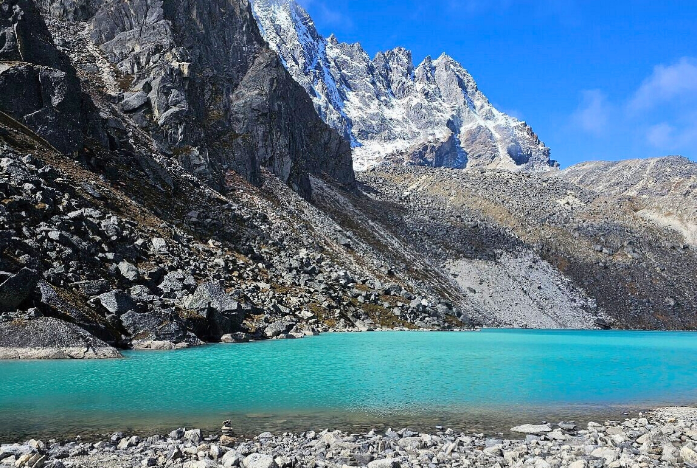
Sagarmatha National Park is the most popular and widely visited national park for high-altitude trekking in the Himalayas. It is located in the Everest or Khumbu region at an elevation from 2,845 m to the summit of Mount Everest at 8,849 m. Some of the popular treks in the Sagarmatha National Park are:
Everest Base Camp Trek
Everest Cho La and Renjo La Pass Trek
Everest Three Passes Trek
Everest Gokyo Ri Trek
Ama Dablam Base Camp trek
Everest View Trek
Below is a list of Nepal’s five other conservation areas along with the major trekking routes for more details:
|
Conservation Area |
Size |
Major Trekking Trails |
|
Gaurishankar Conservation Area |
2,179 sq km |
Rolwaling Valley Trek, Tsho Rolpa Trek, Bigu Gompa Trek, |
|
Kanchenjunga Conservation Area |
2,035 sq km |
Kanchenjunga Base Camp Trek, Kanchenjunga Circuit Trek |
|
Api Nampa Conservation Area |
1,903 sq km |
Api Base Camp Trek, Api Himal Trek, Nampa Base Camp Trek, Saipal region trekking routes |
|
Manaslu Conservation Area |
1,663 sq km |
Manaslu Circuit Trek, Tsum Valley Trek, Tsum Valley and Manaslu Circuit Trek |
|
Blackbuck Conservation Area |
15.95 sq km |
No established trekking trails as of now |
Flora and Fauna of Nepal’s Different region
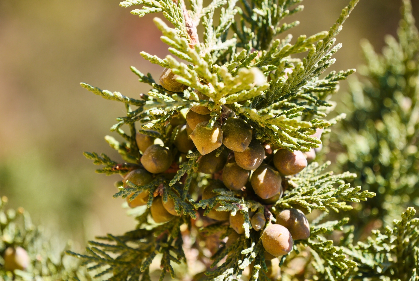
Nepal’s diverse elevation or altitude offers a distinct ecological zones, varying from one region to another, housing its own plant and animal life.
- Terai Region: Considered the tropical region of Nepal, Terai is home to flora such as Sal and Simal forests, grasslands, and wetlands that provides shelter to one-horned rhinoceroses, Bengal tiger, Asian elephant, gharial crocodile, and hundreds of bird species.
- Hilly Region: It is also known as the subtropical zone and goes up to the Mahabharata range in Nepal. The Hilly Region’s diverse flora includes oak, rhododendron, and orchids, and wildlife species like the red panda, Himalayan black bear, and leopard.
- Mountain Region: Above the alpine meadows and rocky terrains are home to endangered species like snow leopard, red panda, Himalayan Tahr, Musk deer, blue sheep, and vegetation limited to mosses, hardy grasses, and lichens at the highest altitudes.
Influence of geography on the history of Nepal
Nepal’s mountainous and rugged terrain has acted as both a buffer and a barrier/border. The snow-capped Himalayas made invasion from the north difficult, while the hills slowed unification and centralized rule for centuries. Moreover, the terrain shielded Nepal from full colonization, a fact often attributed partly to the defensive advantage of its mountains, making it difficult for large-scale territorial control across such rugged land.
In addition, geography also made Nepal a natural buffer state between two historically powerful and rival regional forces such as British India and the Chinese empire. This position helped Nepal’s diplomatic history, including the 1816 Sugauli Treaty with British India. Nonetheless, the treaty continues to influence Nepal’s foreign policy balancing act between China and India today.
Overall, cultural exchange and trade were also geographically shaped. For example, the Kathmandu Valley became a historic trading hub as it sits along trans-Himalayan trade routes that connect India and Tibet. This also helped the nation grow into Nepal’s political and economic center.
Fun Facts: What are the special features of Nepal?
Nepal is famous for Mount Everest, the world's tallest peak. It has the world's only non-rectangular national flag, which is shaped like two stacked triangles. Nepal is also the birthplace of Lord Buddha, home to the only living goddess (the Kumari), and was never colonized by any foreign power. Nepal's best 5 special features include:
- The country has an elevation range of nearly 8,800 m, from Terai’s lowlands at 60 m to the summit of Mt Everest at 8,849 m.
- Nepal is home to 8 out of world’s 10 highest mountains, such as Everest, Kanchenjunga, Lhotse, Makalu, Cho Oyu, Dhaulagiri I, Manaslu, and Annapurna I, despite covering only 0.1% of Earth’s total land area.
- Nepal has not been colonized by a foreign power or a nation.
- Nepal has 11 distinct bioclimatic zones, ranging from tropical to arctic-like alpine conditions, despite its small size.
- Kathmandu Valley has 7 different UNESCO World Heritage Sites, including Pashupatinath, Boudhanath, Swayambhunath, and Durbar Squares.
- Nepal’s flag is the only national flag in the world that is not rectangular.
Final Thoughts
Nepal’s geography is a mixture of dramatic landscapes, from warm temperatures and the lowlands of Terai to the rugged terrain of the Himalayan region. Few countries the size of Nepal offer this range of terrain and geographical diversity within such a narrow strip of land.
Overall, Nepal’s climate, farming patterns, historical development, biodiversity, and even foreign policies are shaped by the country’s geography. Understanding Nepal’s three geographical regions, Terai region, Hilly region, and the Himalayan region, its climate zones, rivers, and its conservation network is a key to understanding why Nepal functions, looks, and farms the way it does today.
Ready to experience these breathtaking landscapes firsthand? Book your Nepal hiking adventure today and journey through the world's most dramatic terrains!
Post a Comment