

Everest Base Camp (South) sits at 5,364 m (17,598 ft) at the foot of the Khumbu Icefall in Nepal. It is the camp trekkers reach on the Everest Base Camp trek, and the starting point for climbers taking the standard South Col route to the summit. The North Base Camp in Tibet is lower, at 5,150 m (16,900 ft). The highest point most trekkers reach is the Kala Patthar viewpoint above Gorak Shep, at about 5,545 m (18,192 ft).
Everest Base Camp height at a glance
- Height: 5,364 m (17,598 ft), about 5.36 km or 3.3 miles above sea level
- Location: on the Khumbu Glacier, Solukhumbu district, inside Sagarmatha National Park, Nepal
- North Base Camp (Tibet): 5,150 m (16,900 ft)
- Highest point on the trek: Kala Patthar viewpoint, about 5,545 m (18,192 ft)
- Highest overnight stop: Gorak Shep, 5,164 m (16,942 ft)
- Where the trek starts: Lukla, 2,860 m (9,383 ft)
- Height gained from Lukla to Kala Patthar: 2,685 m (8,809 ft)
- Everest summit: 8,848.86 m (29,031.7 ft), about 3,485 m (11,434 ft) above base camp

How High Is Everest Base Camp?
The Everest Base Camp height is 5,364 meters (17,598 feet) above sea level. That is higher than the summit of Mont Blanc, the highest peak in the Alps at 4,806 m, and about 61% of the way up Everest. At that height, each breath carries roughly half the oxygen it would at sea level, which is why the trek demands slow, careful acclimatization.
The 5,364 m figure is the one most widely published for the South Base Camp, by trekking guidebooks and operators alike, and it is the figure we use on every Nepal Hiking Team page. Treat it as a reference height rather than a surveyed point: the camp sits on a moving glacier, and tent sites shift from season to season. In June 2022, Nepal announced plans to move the camp 200 to 400 m lower because the Khumbu Glacier is thinning.

Where Is Everest Base Camp?
Everest Base Camp is in the Khumbu region of northeast Nepal, in Solukhumbu district, inside Sagarmatha National Park. The camp spreads across the rubble-covered Khumbu Glacier, directly below the Khumbu Icefall, the first obstacle on the climb to the summit. You can read more about where Mount Everest is on the Nepal-Tibet border.
There is no road. Trekkers fly from Kathmandu to Lukla and walk north through Phakding, Namche Bazaar, Tengboche, Dingboche, Lobuche and Gorak Shep. The walk up takes eight days, including two days set aside for acclimatization, and the walk back to Lukla takes three more. Our 16-day Everest Base Camp trek follows that schedule, and our guide to what the trek costs covers permits, flights and guides.
South Base Camp vs North Base Camp
Everest has two base camps, one on each side of the mountain.
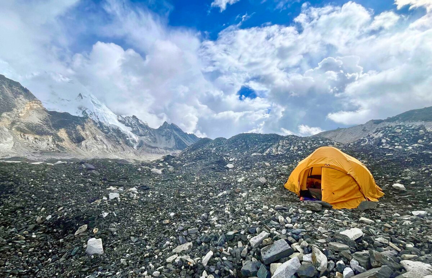
- South Base Camp, Nepal: 5,364 m (17,598 ft). Reached on foot from Lukla, usually in about eight days. This is the camp people mean when they talk about the Everest Base Camp trek.
- North Base Camp, Tibet: 5,150 m (16,900 ft). Reached by road, on a paved branch off China National Highway 318. Visitors need a permit from the Chinese government in addition to a Tibet travel permit.
This guide covers the South Base Camp in Nepal.
Everest Base Camp Trek Altitude Profile, Day by Day
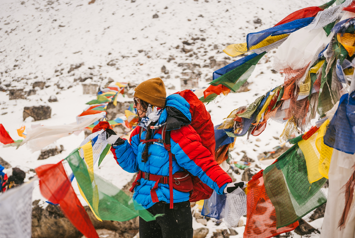
The table follows days 3 to 14 of our 16-day trek. Days 1 and 2 and days 15 and 16 are spent in Kathmandu, at about 1,400 m. The height changes are net figures: on most days the trail also climbs and drops along the way.
| Day | Route | Start | Highest point | Overnight | Height change |
| 3 | Fly Kathmandu to Lukla, trek to Phakding | 1,400 m | 2,860 m | 2,610 m | +1,460 m by air, then -250 m |
| 4 | Phakding to Namche Bazaar | 2,610 m | 3,440 m | 3,440 m | +830 m |
| 5 | Acclimatization hike to the Everest View Hotel | 3,440 m | 3,880 m | 3,440 m | +440 m / -440 m |
| 6 | Namche Bazaar to Tengboche | 3,440 m | 3,860 m | 3,860 m | +420 m |
| 7 | Tengboche to Dingboche | 3,860 m | 4,410 m | 4,410 m | +550 m |
| 8 | Acclimatization hike to Nangkartshang | 4,410 m | 5,083 m | 4,410 m | +673 m / -673 m |
| 9 | Dingboche to Lobuche | 4,410 m | 4,910 m | 4,910 m | +500 m |
| 10 | Lobuche to Gorak Shep and Everest Base Camp | 4,910 m | 5,364 m | 5,164 m | +454 m / -200 m |
| 11 | Gorak Shep to Kala Patthar, then down to Pheriche | 5,164 m | 5,545 m | 4,210 m | +381 m / -1,335 m |
| 12 | Pheriche to Namche Bazaar | 4,210 m | 4,210 m | 3,440 m | -770 m |
| 13 | Namche Bazaar to Lukla | 3,440 m | 3,440 m | 2,860 m | -580 m |
| 14 | Fly Lukla to Kathmandu | 2,860 m | 2,860 m | 1,400 m | -1,460 m by air |
The two acclimatization days follow the rule most guides use: climb high during the day, then sleep lower. Gorak Shep, at 5,164 m, is the highest place you sleep.
Kala Patthar: The Highest Point of the Trek
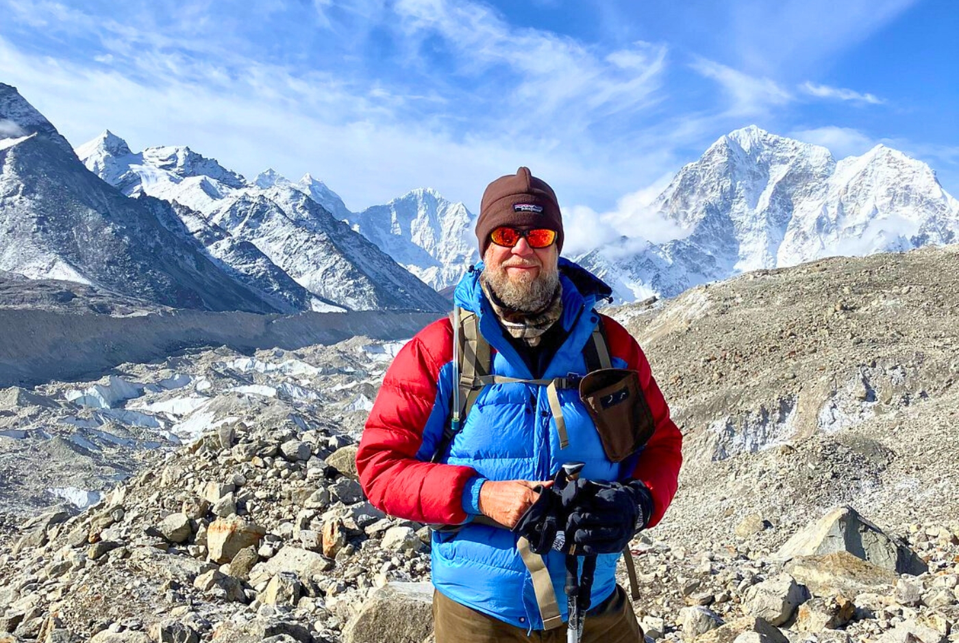
Everest Base Camp is not the highest point of the trek. On the morning after reaching base camp, most trekkers climb Kala Patthar, a rocky ridge above Gorak Shep whose name means "black rock." The reason is the view: Everest's summit cannot be seen from base camp, but it stands in full view from Kala Patthar.
The viewpoint trekkers reach is commonly listed at 5,545 m (18,192 ft), and that is the figure we use for the trek's high point. You will also see 5,644 m quoted: GPS readings in 2006 and 2008 put the true summit of Kala Patthar at about 5,644.5 m (18,519 ft). Including Kala Patthar, the trek takes you 2,685 m (8,809 ft) higher than Lukla. Our Kala Patthar guide covers the climb in detail.

Why the Altitude Matters: Altitude Sickness on the Way to Base Camp
Everest Base Camp's altitude, not its terrain, is what makes the trek hard. As you climb, the air holds less oxygen, and a body that climbs too fast cannot adapt in time.
Acute mountain sickness (AMS) is common above about 2,500 m. Early signs include headache, nausea, dizziness, tiredness and loss of appetite. If a trekker keeps climbing with symptoms, AMS can develop into two dangerous conditions: high-altitude pulmonary edema (HAPE), fluid in the lungs that causes breathlessness even at rest, and high-altitude cerebral edema (HACE), swelling of the brain that causes confusion and loss of coordination. Both can kill. The cure for both is to descend.
You can cut the risk with a few habits:
- Climb gradually, and keep the acclimatization days at Namche Bazaar and Dingboche.
- Drink plenty of water. Many guides suggest 3 to 4 liters a day.
- Avoid alcohol and smoking on the trek.
- Ask your doctor before the trip about preventive medication such as acetazolamide (Diamox).
- Tell your guide about any symptoms early, and go down if they get worse.
Our page on altitude sickness explains the symptoms and treatment in more detail.

Everest Base Camp vs the Summit of Everest
Base camp is where the climb begins. From 5,364 m, climbers still face about 3,485 m (11,434 ft) of ascent to the summit at 8,848.86 m, the top of our list of the world's highest mountains. Expedition teams spend weeks at base camp each spring, acclimatizing, checking equipment and waiting for weather windows.
Above base camp, the route climbs through the Khumbu Icefall to Camp 1. The last stop before the summit, Camp 4, sits on the South Col at about 7,900 m (25,900 ft), just below the 8,000 m line that marks the start of the so-called death zone, where the body cannot recover.
Planning Your Trek to Everest Base Camp
The trek to Everest Base Camp is one of the best treks in Nepal, and most fit walkers can reach base camp with good preparation and a sensible pace. Train with long hikes and cardio in the months before you go, ideally with a loaded daypack on hilly ground, and choose an itinerary with proper acclimatization days.
If walking is not an option, helicopter tours fly over the Khumbu and usually land at Kala Patthar for the Everest view, weather permitting.
Nepal Hiking Team has guided trekkers in the Khumbu for years. Our guides plan every day around safe acclimatization, whether you walk the classic route or see the region from the air.
Post a Comment