
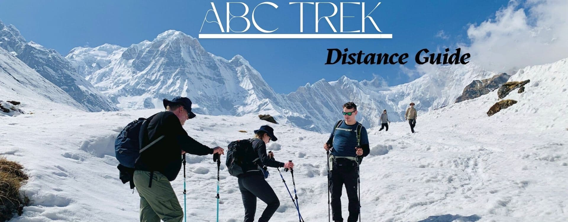
The Annapurna Base Camp trek is usually 70 to 95 kilometers, or 43 to 59 miles, round trip, depending on the starting point and route. Shorter ABC routes from Jhinu Danda or Matkiu are closer to 70 kilometers, while classic routes through Ghorepani and Poon Hill can reach about 90 to 95 kilometers. Most trekkers complete the route in 7 to 11 days, walking around 5 to 7 hours per day on average.
The distance may be longer if the trek starts from lower trailheads such as Nayapul or includes extra scenic sections. For this reason, the exact length of the Annapurna Base Camp trek depends on road access, itinerary design, acclimatization pace, and whether Poon Hill is included.
This guide covers the total ABC trek distance, daily walking distances, route variations, Pokhara and Kathmandu travel context, elevation, difficulty, safety, cost factors, and the best route choice for different trekking plans.
Later in the blog, we share day-by-day field insight from a Nepal Hiking Team trekker, showing how distance, elevation gain, terrain, and pacing felt on the ABC route.
How Far is the Annapurna Base Camp Trek?
The Annapurna Base Camp trek distance is approximately 70 to 95 kilometers, or 43 to 59 miles, round trip. The exact distance depends on where the trek begins, how road access has changed the lower section of the route, whether Ghorepani and Poon Hill are included, and whether trekkers start from Birethanti, Nayapul, Ghandruk village, Jhinu Danda, or Matkiu. Shorter ABC routes starting from Jhinu Danda or Matkiu are closer to 70 kilometers round trip. Classic routes that include Ghorepani and Poon Hill can reach about 90 to 95 kilometers depending on the trailhead and exit point.
Most Annapurna Base Camp treks take 7 to 11 days to complete. Daily walking distances range from 5 to 13 kilometers, and trekkers typically walk 5 to 7 hours per day. The highest point on the route is Annapurna Base Camp itself, at 4,130 meters or 13,550 feet above sea level. The trek is rated moderate in difficulty. Stone steps around Ulleri and Chhomrong, steady forest climbs, river crossings, and gradual altitude gain define the character of the route rather than any single extreme section.
Annapurna Base Camp Trek Distance: Quick Facts
| Topic | Answer |
|---|---|
| Total trekking distance | Approximately 70 to 95 km round trip |
| Distance in miles | About 43 to 59 miles round trip |
| Shortest common route | Jhinu Danda or Matkiu to ABC and back, around 70 km |
| Route with Poon Hill | About 90 to 95 km, depending on trailhead and exit point |
| Daily walking distance | Usually 5 to 13 km per day |
| Walking hours per day | About 5 to 7 hours per day |
| Highest elevation | 4,130 m or 13,550 ft at Annapurna Base Camp |
| Difficulty | Moderate, with stone steps, steady climbs, forest trails, and altitude gain |
| Main reason distance varies | Trailhead choice, road access, route variation, and Poon Hill inclusion |
Key Takeaways About ABC Trek Distance
The shortest common Annapurna Base Camp route starts from Jhinu Danda or Matkiu and is usually close to 70 kilometers round trip. The longer route through Ghorepani and Poon Hill reaches about 90 to 95 kilometers. Most trekkers walk 5 to 13 kilometers per day for 5 to 7 hours, depending on terrain, altitude, and route choice. Shorter distances do not always mean easier trekking, because a steep day on stone steps can be harder on the body than a longer walk through gradual forest terrain.
Why Does the Annapurna Base Camp Trek Distance Vary?
The ABC trek distance is not one fixed number, and that is why different sources quote different figures. Understanding the reasons behind this variation helps trekkers plan realistically and avoid confusion before the trip begins.
Road access has changed the lower section of the route significantly in recent years. Sections that trekkers once walked are now reachable by vehicle. Some trekkers begin from Birethanti or Nayapul and walk the full lower route on foot. Others use current road access to reach Ghandruk, Jhinu Danda, or Matkiu and begin the trek from there. Starting from a closer trailhead reduces the lower walking distance and can change the total round-trip distance by 20 kilometers or more.
Nepal Hiking Team offers one of the shortest Annapurna Base Camp Trekking options: Instant Annapurna Base Camp Trek, completed in 6 trekking days.
Route variation also plays a major role. Some itineraries follow the Ghorepani and Poon Hill loop before continuing toward Chhomrong and the Annapurna Sanctuary. Others take a more direct approach from a closer trailhead and skip the Poon Hill section entirely. Both are legitimate routes. They simply cover different ground.
The return path also differs. Some trekkers descend via the same trail they ascended, while others exit through Jhinu Danda along a different lower section. These choices change the total round-trip distance.
Many websites show conflicting ABC trek distances because they mix road distance with trekking distance, one-way distance with round-trip distance, or quote from different trailheads without clarifying the starting point. In this guide, we will skillfully separate driving distance from walking distance and plan the route based on the actual days and terrain covered.
We have compiled some of the trending ABC trekking variations in our blog: Top 5 ABC packages for Annapurna Base Camp Trek.
Pokhara to Annapurna Base Camp Distance
The distance from Pokhara to Annapurna Base Camp depends on where the trek actually starts. Pokhara is the gateway city, but trekkers do not walk from Pokhara city itself. The road transfer from Pokhara to the trailhead is a separate segment covered by vehicle. The walking distance begins at the trailhead, not at Phewa Lake.
From common trailheads, the round-trip trekking distance to Annapurna Base Camp is usually around 70 to 95 kilometers. Routes including Ghorepani and Poon Hill are longer than direct routes from Jhinu Danda or Matkiu.
| Starting Point | Road Transfer from Pokhara | Approximate Trekking Distance (Round Trip) | Notes |
|---|---|---|---|
| Birethanti or Nayapul | About 42 km by road, around 1.5 to 2.5 hours | About 90 to 95 km | Longer lower section on foot; often combined with Ghorepani and Poon Hill |
| Ghandruk | About 35 km by road, around 1.5 to 2 hours | About 80 to 85 km | Good entry for village scenery and direct ABC access |
| Jhinu Danda | About 55 km by road, around 2 to 3 hours | Around 70 km | Shortest common trekking distance to ABC and back |
| Matkiu | About 55 to 60 km by road, around 2 to 3 hours | Around 70 km | Similar to Jhinu Danda route; suitable for shorter itineraries |
| Route via Ghorepani and Poon Hill | About 42 km to Birethanti, around 1.5 to 2.5 hours | About 90 to 95 km | Longer route; adds Poon Hill sunrise and route variety |
Kathmandu to Annapurna Base Camp Distance
Kathmandu to Annapurna Base Camp involves several distinct segments that should not be combined into a single walking distance figure. The journey begins with a road trip or flight from Kathmandu to Pokhara. By road, the distance is approximately 204 kilometers and the drive can take around 6 to 8 hours depending on traffic and road conditions. Some trekkers fly between the two cities, which reduces travel time considerably.
From Pokhara, the road transfer to the chosen trailhead is a separate segment. The actual trekking distance to Annapurna Base Camp and back remains around 70 to 95 kilometers, depending on the chosen route and trailhead. The Kathmandu to ABC total journey combines long road travel with a multi-day trek and should be understood as three separate sections: Kathmandu to Pokhara, Pokhara to trailhead by road, and the trekking route itself.
Annapurna Base Camp Trek Map with Distance
A useful ABC trek map with distance should clearly show the full route from Pokhara through to the base camp, with each segment labeled by approximate walking distance, elevation, and daily stage. The key locations a good map should include are Pokhara, Birethanti or Nayapul, Ulleri, Ghorepani, Poon Hill, Chuile or Tadapani, Chhomrong, Sinuwa, Bamboo, Dovan, Himalaya, Deurali, Machhapuchhre Base Camp, Annapurna Base Camp, and the descent stages back through Bamboo and Jhinu Danda to the road point.
A reliable map should separate driving distance from trekking distance, show daily walking sections individually, indicate elevation gain and loss at each stage, and mark route variations clearly. A map that combines road distance and trekking distance into a single figure can be misleading. When reviewing any ABC trek map, check whether distances shown are one-way or round-trip, and whether they include the road segment or only the walking route.
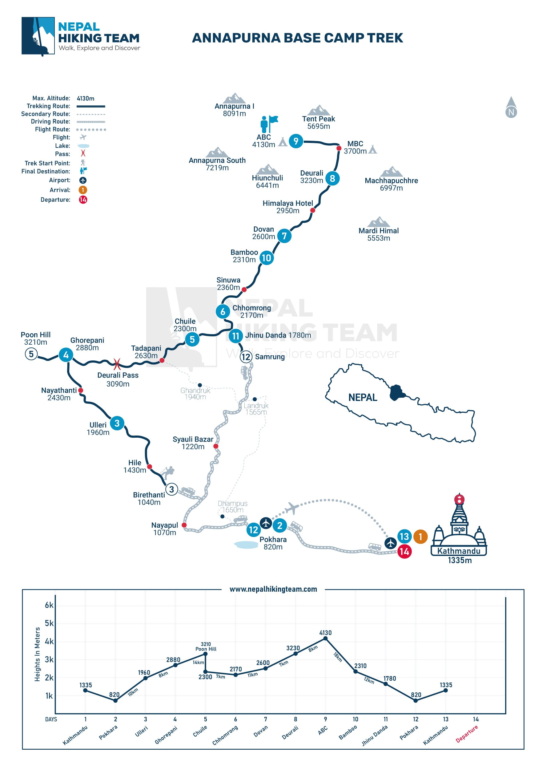
Annapurna Base Camp Trek Daily Walking Distance
Most days on the Annapurna Base Camp trek involve 5 to 13 kilometers of walking. The daily distances may appear modest on paper, but the actual effort depends on the terrain, altitude, and cumulative fatigue of previous days. A short 7-kilometer day on stone steps or a steep ascent can feel harder than 12 kilometers on a gradual forest trail.
Walking time is typically 5 to 7 hours per day, with breaks at teahouses and viewpoints along the way. The route becomes slower above Deurali, where altitude reduces pace and the open glacial terrain requires careful footing. The final approach from Deurali to Annapurna Base Camp via Machhapuchhre Base Camp should be walked steadily, without rushing, to allow the body to adjust to the elevation gain.
The table below shows approximate daily walking distances for a classic ABC route that includes Ghorepani and Poon Hill.
| Day | Route | Approx. Walking Distance | Duration | Elevation | Trail Note |
|---|---|---|---|---|---|
| Day 1 | Drive Pokhara to Birethanti, trek to Ulleri | About 9 km (trekking) | 5 to 6 hours walking | +750 m, reaching 1,960 m | Stone steps from Tikhedhunga to Ulleri; steep but manageable |
| Day 2 | Ulleri to Ghorepani | About 10 km | 6 to 7 hours | +1,100 m, reaching 2,860 m | Gradual climb through rhododendron and oak forest |
| Day 3 | Ghorepani to Poon Hill, then trek to Chuile | About 13 km | 6 to 7 hours | +200 m / -1,000 m | Pre-dawn hike to Poon Hill (3,210 m), then descend through forest to Chuile |
| Day 4 | Chuile to Chhomrong | About 7 to 9 km | 5 to 6 hours | +700 m / -400 m | Descent to Kimrong Khola, then climb to Chhomrong with views of Annapurna South |
| Day 5 | Chhomrong to Dovan | About 10 km | 5 to 6 hours | +800 to 900 m | Descend to Chhomrong Khola, climb through bamboo and rhododendron forest along the Modi River |
| Day 6 | Dovan to Deurali | About 6 to 7 km | 3 to 4.5 hours | +630 m, reaching 3,230 m | Forest trail with waterfalls; passes Himalaya teahouse; landscape opens into alpine terrain near Deurali |
| Day 7 | Deurali to Machhapuchhre Base Camp and Annapurna Base Camp | About 8 to 9 km | 5 to 6 hours | +900 m, reaching 4,130 m | Open glacial fields above MBC; pace carefully due to altitude; 360-degree Sanctuary views at ABC |
| Day 8 | Annapurna Base Camp to Bamboo | About 12 to 13 km | 6 to 7 hours | -1,600 m, descending to about 2,350 m | Long descent through MBC and Deurali; knees carry most of the load; forest thickens toward Bamboo |
| Day 9 | Bamboo to Jhinu Danda | About 9 to 10 km | 5 to 6 hours | -500 m, descending to around 1,780 m | Forest and suspension bridge trail; natural hot springs at Jhinu Danda for recovery |
| Day 10 | Jhinu Danda to road point, drive to Pokhara | About 3 to 5 km (trekking to vehicle pickup) | 1 to 2 hours walking, then 2 to 3 hours drive | Gradual descent | Short final walk to road; drive back to Pokhara |
Key Annapurna Base Camp Route Distances
The table below covers the main route segments that trekkers and planners search for most often. Distances are approximate and can vary slightly depending on trail conditions, lodge locations, and seasonal route adjustments.
| Route Segment | Approximate Distance | Walking Time | What to Expect |
|---|---|---|---|
| Birethanti to Ulleri | About 9 to 10 km | 5 hours | Riverside trail to Tikhedhunga, then long stone stairway climb to Ulleri |
| Ulleri to Ghorepani | About 10 km | 6 to 7 hours | Steady uphill through dense oak and rhododendron forest with mountain glimpses |
| Ghorepani to Poon Hill | About 1.5 to 2 km one way | 45 minutes to 1 hour | Pre-dawn climb for sunrise views over Dhaulagiri, Annapurna, and Machhapuchhre |
| Ghorepani to Annapurna Base Camp | About 45 km one way | 3 to 4 days | Via Tadapani or Chuile, Chhomrong, Bamboo, Dovan, Deurali, MBC to ABC |
| Chhomrong to Dovan | About 10 km | 5 to 6 hours | Descent to Chhomrong Khola, then sustained climb through bamboo forest along Modi River |
| Chhomrong to Bamboo | About 7 to 8 km | 4 to 5 hours | River valley trail through Sinuwa and shaded forest; relatively gradual |
| Dovan to Deurali | About 6 to 7 km | 3 to 4.5 hours | Passes Himalaya teahouse; forest gives way to open alpine terrain near Deurali |
| Himalaya to Deurali | About 3 to 4 km | 1.5 to 2.5 hours | Uphill through thinning trees with views expanding toward the Sanctuary entrance |
| Deurali to Machhapuchhre Base Camp | About 4 km | 2 to 2.5 hours | Open rocky terrain above treeline; wide views of Machhapuchhre, Hiunchuli, and Annapurna I |
| Machhapuchhre Base Camp to Annapurna Base Camp | About 3 to 4 km | 2 to 2.5 hours | Glacial fields and open Sanctuary bowl; altitude slows pace; 360-degree views at ABC |
| Deurali to Annapurna Base Camp | About 8 to 9 km | 5 to 6 hours | Combines MBC and ABC sections; demanding due to altitude gain above 3,230 m |
| Annapurna Base Camp to Bamboo | About 12 to 13 km | 6 to 7 hours | Long descent through Deurali and Himalaya; knees and quads carry most of the load |
| Bamboo to Jhinu Danda | About 9 to 10 km | 5 to 6 hours | Forest trail with suspension bridges; natural hot springs at Jhinu Danda for recovery |
| Jhinu Danda to Annapurna Base Camp (one way) | About 28 to 35 km | 3 to 4 days | Via Chhomrong, Sinuwa, Bamboo, Dovan, Deurali, MBC; shortest common trailhead to ABC |
| Pokhara to Annapurna Base Camp (road plus trek combined) | Road transfer plus about 35 to 47 km trekking one way | Multiple days | Road segment covered by vehicle; trekking portion starts at chosen trailhead |
Annapurna Base Camp Height and Elevation
Annapurna Base Camp sits at 4,130 meters, or 13,550 feet, above sea level. It is the highest sleeping point for most ABC itineraries and the culmination of the entire route. Reaching this elevation is the central goal of the trek, and the altitude itself becomes a meaningful factor in how the final days are planned and paced.
The elevation gain is gradual across the full route, but the upper section demands respect. Trekkers pass through lower subtropical villages and terraced farmlands before entering dense rhododendron and bamboo forests. The route then climbs through the river valleys above Chhomrong, rises through Dovan and the Himalaya teahouse, and transitions into open alpine terrain at Deurali at 3,230 meters. Above Deurali, the landscape changes completely. The trees disappear, the valley opens into the Annapurna Sanctuary, and the peaks of Annapurna I, Machhapuchhre, Hiunchuli, and Gangapurna come fully into view.
Machhapuchhre Base Camp is the penultimate stop before ABC. From MBC, the final 3 to 4 kilometers to Annapurna Base Camp at 4,130 meters require steady pacing and awareness of how the body is responding to altitude. Most trekkers feel the elevation here even with good acclimatization from the days below.
How Long Does it Take to Hike to Annapurna Base Camp?
Most Annapurna Base Camp treks take 7 to 11 days. The actual number of days depends on the chosen route, the starting trailhead, the pace of the group, and whether rest days or acclimatization stops are built into the itinerary.
Shorter routes from Jhinu Danda or Matkiu can be completed in 7 to 8 days, but these itineraries leave little room for adjustment if the weather changes or the body needs more time at altitude. The classic route from Birethanti with the Ghorepani and Poon Hill loop typically takes 10 to 11 days, and this longer timeline gives the trek a more natural rhythm. Poon Hill at sunrise, a rest at Chhomrong, and a gradual ascent through the Sanctuary all contribute to a more complete experience.
The final hiking day from Deurali to Annapurna Base Camp via Machhapuchhre Base Camp typically takes 5 to 6 hours, depending on pace, group fitness, weather, and how the body responds to the altitude gain. This day covers about 8 to 9 kilometers but involves significant elevation gain and open exposed terrain. Starting early in the morning is standard practice, as clouds often build in the Sanctuary by midday.
Is the Annapurna Base Camp Trek Distance Difficult?
The Annapurna Base Camp trek distance is manageable for many prepared trekkers, but the route is not flat or easy. The trek is rated moderate, and that rating reflects the consistent physical demands of the terrain rather than any single extreme section.
The stone stairways around Ulleri and Chhomrong are the sections most commonly noted by trekkers as unexpectedly demanding. Ulleri requires a sustained climb on stone steps on the first day of trekking. Chhomrong involves repeated descents and ascents through the river valley below. Both sections require steady effort and a measured pace.
The upper trail from Deurali to Machhapuchhre Base Camp and then to Annapurna Base Camp adds altitude fatigue to the physical challenge. At 3,230 meters and above, the reduced oxygen level slows the pace for most trekkers. The terrain above Deurali is also more exposed, with fewer sheltered spots and less predictable weather.
Good pacing is the most important factor on this trek. Trekkers who walk steadily and take short breaks throughout the day consistently perform better than those who push hard in the morning and run out of energy by afternoon. The distance itself is not the core challenge. The combination of distance, elevation, terrain, and accumulated daily effort is what defines the difficulty of the ABC route.
For a fuller breakdown of fitness level, altitude, terrain, and preparation, read our detailed guide on Annapurna Base Camp trek difficulty before planning your route.
Does the Annapurna Base Camp Trek Distance Affect the Cost?
The Annapurna Base Camp trek cost per person is influenced by the number of trekking days, the route length, accommodation category, transportation, guide and porter support, permits, and whether Poon Hill is included in the itinerary.
A shorter route from Jhinu Danda or Matkiu may reduce the total number of service days and, in turn, the overall cost. A longer route through Ghorepani and Poon Hill adds extra walking days, which increases accommodation nights, guide and porter fees, and logistical costs. The difference is worth considering when choosing a package, particularly for trekkers with limited time or a fixed budget.
Short Route vs Poon Hill Route: Which ABC Trek Distance is Better?
Choosing between a shorter ABC route and the longer Poon Hill loop depends on available time, fitness level, season, and what the trekker wants from the experience. The table below compares the main route options.
| Route | Approximate Distance | Typical Duration | Main Benefit | Best For |
|---|---|---|---|---|
| Short route from Jhinu Danda or Matkiu | Around 70 km round trip | 7 to 8 days | Fewer walking days, efficient access to ABC | Trekkers with limited time or strong fitness |
| Classic ABC route without Poon Hill | About 75 to 80 km round trip | 8 to 9 days | Balanced route through Chhomrong and the Sanctuary | Trekkers wanting a complete ABC experience without the Poon Hill detour |
| ABC route with Ghorepani and Poon Hill | About 90 to 95 km round trip | 10 to 11 days | Sunrise at Poon Hill, varied landscapes, and the full classic route | Trekkers with enough time who want the full Ghorepani, Poon Hill, and ABC route |
| Route via Ghandruk | About 80 to 85 km round trip | 9 to 10 days | Strong Gurung village experience and good mountain views | Trekkers interested in culture and village life alongside the ABC route |
| Longer route from Birethanti or Nayapul | About 90 to 95 km round trip | 10 to 11 days | Full lower valley trail on foot, traditional route approach | Trekkers who prefer walking the complete lower route using existing trail access |
The short route from Jhinu Danda or Matkiu works well for trekkers with a tight schedule. The Poon Hill route rewards those with more time by adding one of Nepal's most celebrated sunrise viewpoints to the itinerary. The Ghandruk route offers a strong cultural dimension. The best option always depends on individual time, fitness, season of travel, and what each trekker wants from the route.
Choosing the Right Annapurna Base Camp Trek Package
The right Annapurna Base Camp trek package should match the trekker's available time, fitness level, season of travel, route preference, and comfort expectations. There is no single itinerary that works for everyone, and the wide range of trailhead options and route lengths gives trekkers genuine flexibility.
Some trekkers prefer the shorter route from Jhinu Danda or Matkiu because it reduces the lower walking distance and uses current road access to reach the trail more efficiently. Others prefer the longer route through Ghorepani and Poon Hill because the sunrise views and varied terrain make the additional days worthwhile. Season matters too. Spring brings rhododendron bloom on the lower slopes and clear skies in the mornings. Autumn offers stable weather and sharp mountain visibility throughout the day.
Nepal Hiking Team helps trekkers select a route that fits their pace, schedule, and interest. Our local guides are familiar with every section of the ABC route and can advise on which trailhead and itinerary length will give each trekker the best result for their particular situation.
Annapurna Base Camp Trek Distance Detailed Daily Itinerary
A detailed Annapurna Base Camp trek itinerary typically begins with a drive from Pokhara to a trailhead such as Birethanti or Nayapul, passes through villages like Ulleri, Ghorepani, and Chhomrong, ascends through Dovan, Deurali, and Machhapuchhre Base Camp to reach Annapurna Base Camp, and then descends back to a trailhead before returning to Pokhara by road.
Day 1: Kathmandu to Pokhara
Distance: 204 km by road | Elevation: 820 m | Duration: approximately 6 to 8 hours
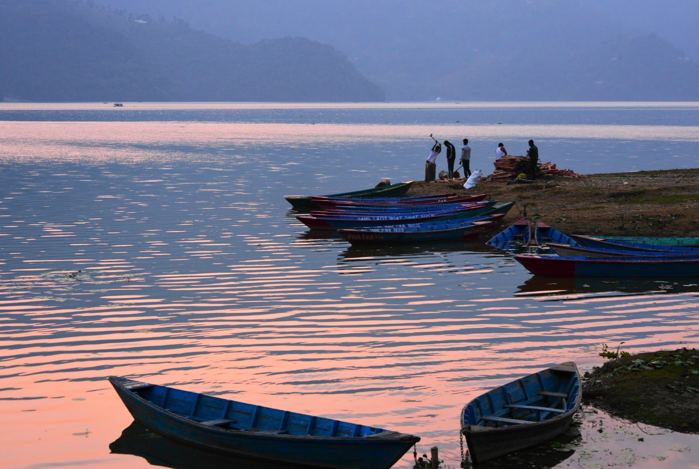
The journey begins in Kathmandu and follows the Prithvi Highway west toward Pokhara. The road passes through Naubise, Malekhu, Mugling, and Damauli before arriving at Pokhara, the base for the ABC trek. The drive takes approximately 6 to 8 hours depending on traffic and road conditions. Pokhara sits at 820 meters and offers a relaxed evening before the trek begins the following morning.
| Route | Activity Type | Distance | Duration | Elevation Change |
|---|---|---|---|---|
| Kathmandu to Pokhara | Drive | About 204 km | Approximately 6 to 8 hours | 1,335 m to 820 m |
Day 2: Drive from Pokhara to Birethanti, Trek to Ulleri
Trekking Distance: About 9 km | Elevation Gain: +750 m | Duration: 5 to 6 hours walking
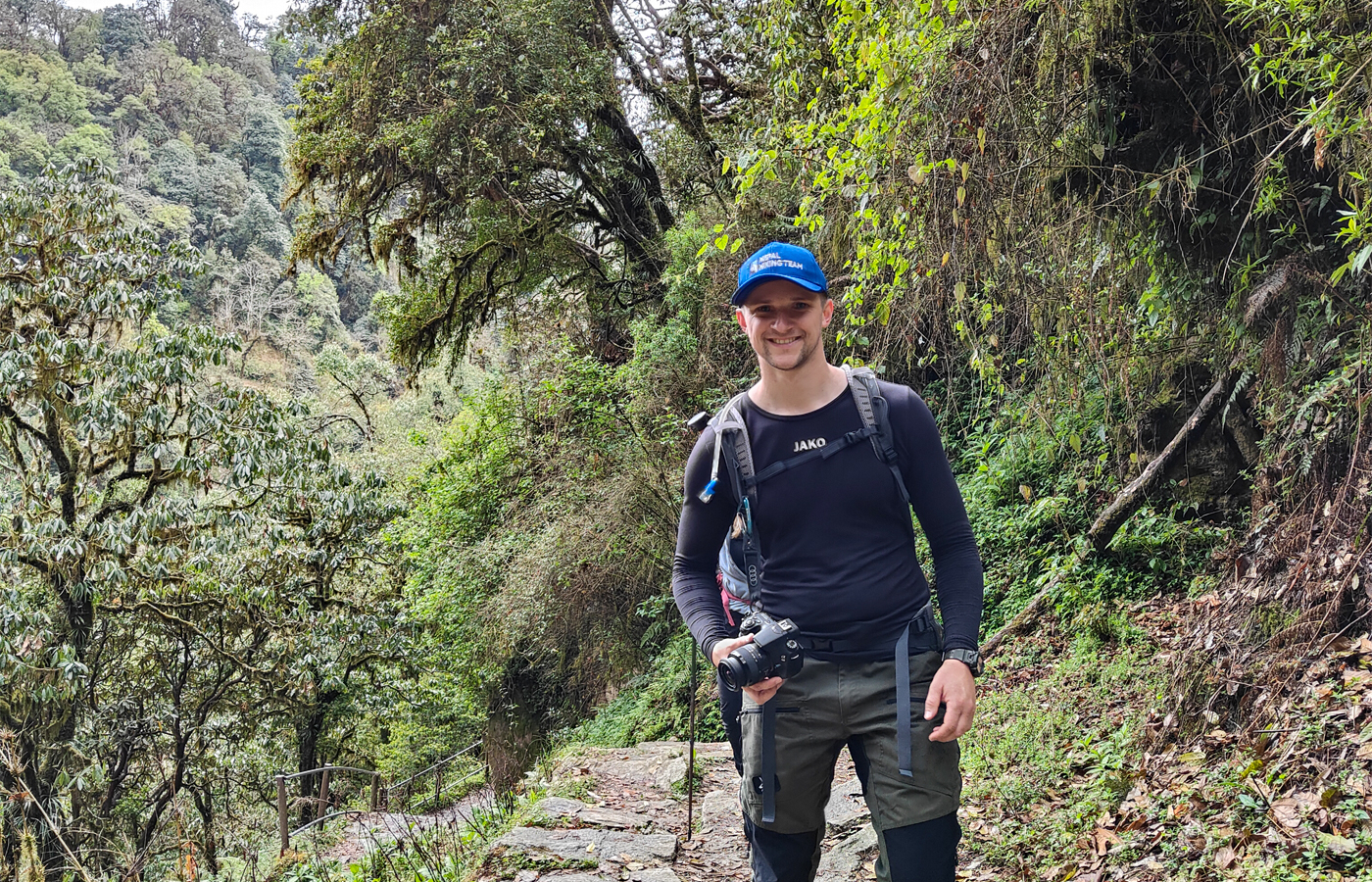
From Pokhara, the road transfer to Birethanti takes approximately 1.5 to 2.5 hours, covering about 42 kilometers. The trek begins at Birethanti and follows the Bhurungdi River through Hile and Tikhedhunga. From Tikhedhunga, a long stone stairway leads up to Ulleri, covering the final section of the day with a steep but rewarding climb. Ulleri at 1,960 meters offers clear views of Annapurna South and Hiunchuli on a clear evening.
| Route | Activity Type | Distance | Duration | Elevation Change |
|---|---|---|---|---|
| Pokhara to Birethanti | Road Transfer | About 42 km | 1.5 to 2.5 hours | 820 m to about 1,025 m |
| Birethanti to Ulleri | Trek | About 9 to 10 km | 5 to 6 hours | +935 m, reaching 1,960 m |
Day 3: Ulleri to Ghorepani
Distance: About 10 km | Elevation Gain: +1,100 m | Duration: 6 to 7 hours
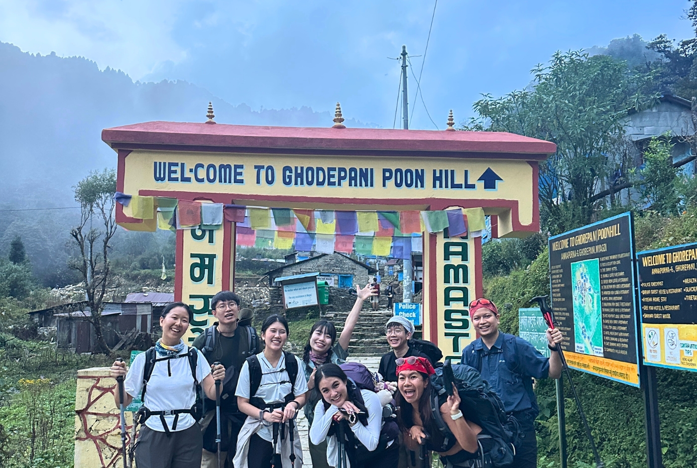
The day begins in the forest with rhododendron and oak trees forming a canopy above the trail. The path climbs steadily through Banthanti, a good rest stop roughly 5 kilometers from Ulleri, and continues for another 5 kilometers to Ghorepani at 2,860 meters. The views of Annapurna South, Hiunchuli, and Machhapuchhre appear clearly as the forest opens near the top. Ghorepani is a well-established trekking hub with comfortable lodges and wide evening mountain views.
Day 4: Ghorepani to Poon Hill, then Trek to Chuile
Distance: About 13 km | Elevation Gain and Loss: +200 m / -1,000 m | Duration: 6 to 7 hours
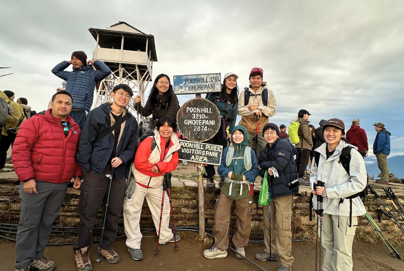
The day starts before dawn. A steep 1.5 to 2 kilometer climb from Ghorepani brings trekkers to Poon Hill at 3,210 meters in about 45 minutes to an hour. The sunrise over Dhaulagiri and the Annapurna range from this viewpoint is widely regarded as one of the finest in the Himalayan foothills. After returning to Ghorepani for breakfast, the route continues through Banthanti and Tadapani, passing through moss-covered rhododendron forest, to reach Chuile in the late afternoon.
Day 5: Chuile to Chhomrong
Distance: About 7 to 9 km | Elevation Gain and Loss: +700 m / -400 m | Duration: 5 to 6 hours
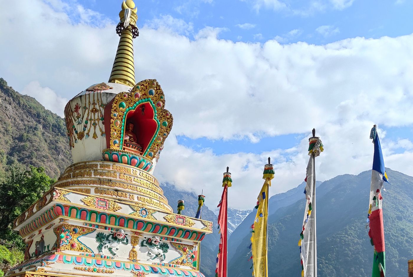
From Chuile, the trail descends to the Kimrong Khola and crosses suspension bridges over the river before climbing up toward Chhomrong. The ascent to Chhomrong passes through traditional Gurung villages and terraced farmland. Chhomrong at 2,170 meters is one of the main gateway villages for the Annapurna Sanctuary and offers close frontal views of Annapurna South. The distance from Chhomrong to Annapurna Base Camp one way is approximately 33 to 35 kilometers.
Day 6: Chhomrong to Dovan
Distance: About 10 km | Elevation Gain: +800 to 900 m | Duration: 5 to 6 hours
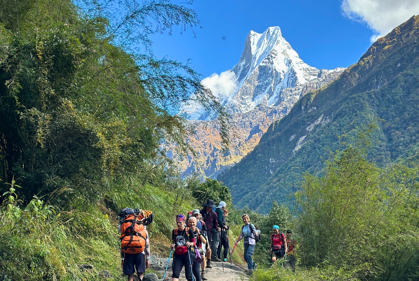
From Chhomrong, the trail descends to the Chhomrong Khola and then follows the Modi River valley upward through bamboo and rhododendron forest. The route passes through Sinuwa before continuing to Dovan at approximately 2,600 meters. The forest is shaded and quiet, with sounds of the river below. Dovan to Annapurna Base Camp is approximately 19 to 20 kilometers one way.
Day 7: Dovan to Deurali
Distance: About 6 to 7 km | Elevation Gain: +630 m | Duration: 3 to 4.5 hours
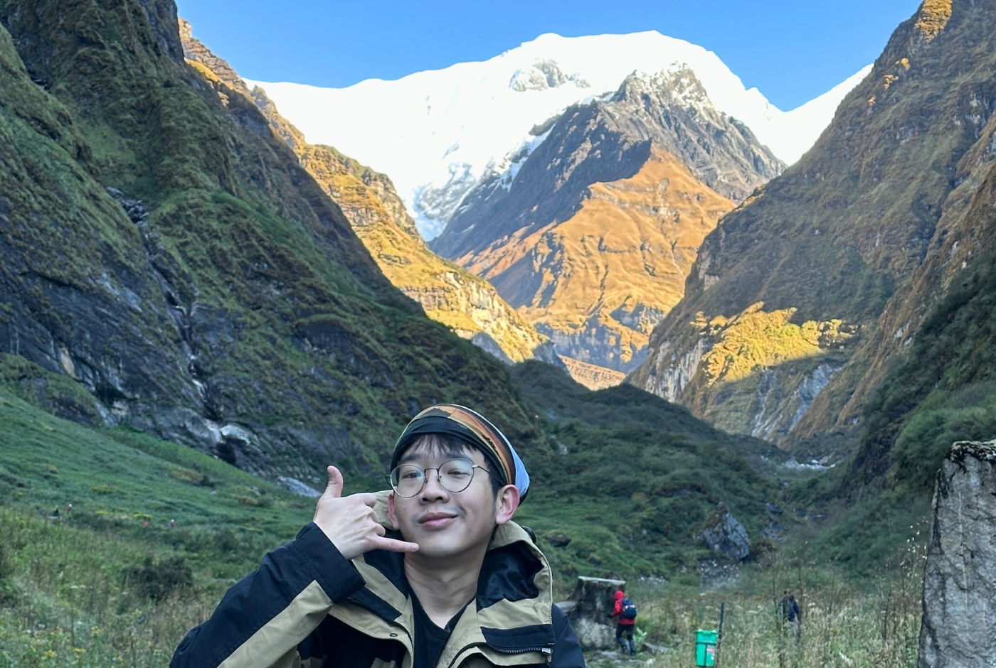
The trail from Dovan passes through the Himalaya teahouse settlement before continuing to Deurali at 3,230 meters. The forest thins progressively as altitude increases, and the views of the surrounding peaks begin to open. Deurali marks the transition point between the forested river valley and the open alpine terrain of the Annapurna Sanctuary. From Deurali, the distance to Annapurna Base Camp via MBC is approximately 8 to 9 kilometers.
| Route | Activity Type | Distance | Duration | Elevation Change |
|---|---|---|---|---|
| Dovan to Himalaya | Trek | About 3 km | 1.5 to 2 hours | +200 m, reaching 2,800 m |
| Himalaya to Deurali | Trek | About 3 to 4 km | 1.5 to 2.5 hours | +430 m, reaching 3,230 m |
| Total Day | Trek | About 6 to 7 km | 3 to 4.5 hours | +630 m net gain |
Day 8: Deurali to Annapurna Base Camp via Machhapuchhre Base Camp
Distance: About 8 to 9 km | Elevation Gain: +900 m | Duration: 5 to 6 hours
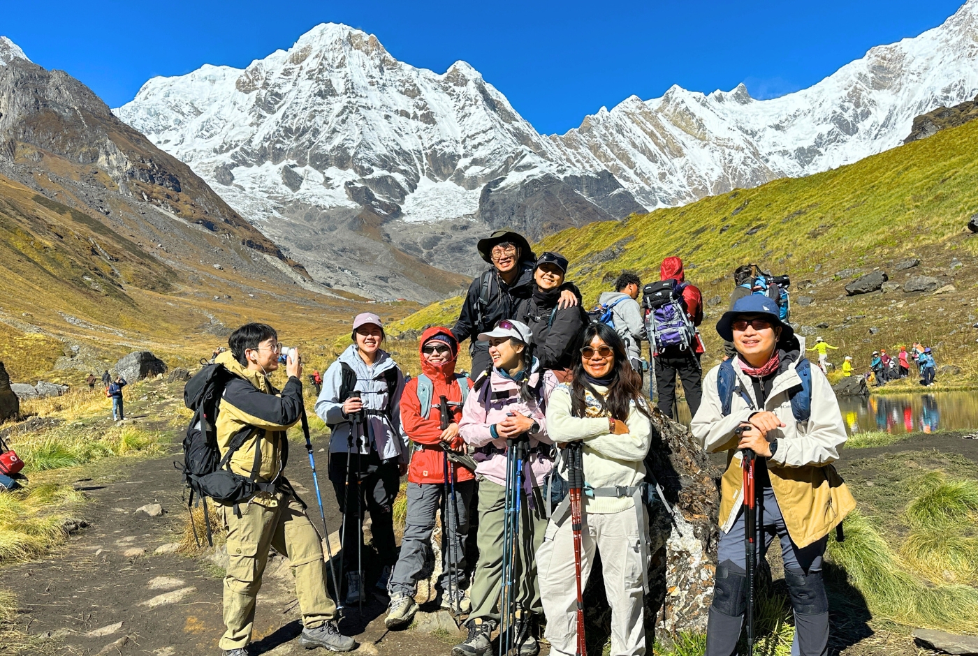
From Deurali, the route enters the open Annapurna Sanctuary. The trail crosses rocky terrain to reach Machhapuchhre Base Camp in about 2 to 2.5 hours. The MBC to ABC distance is approximately 3 to 4 kilometers, taking another 2 to 2.5 hours at altitude. Annapurna Base Camp at 4,130 meters sits in the heart of the Sanctuary, surrounded by the peaks of Annapurna I, Gangapurna, Hiunchuli, and Machhapuchhre.
| Route | Activity Type | Distance | Duration | Elevation Change |
|---|---|---|---|---|
| Deurali to Machhapuchhre Base Camp | Trek | About 4 km | 2 to 2.5 hours | +370 m |
| Machhapuchhre Base Camp to Annapurna Base Camp | Trek | About 3 to 4 km | 2 to 2.5 hours | +530 m, reaching 4,130 m |
| Total Day | Trek | About 8 to 9 km | 5 to 6 hours | +900 m net gain |
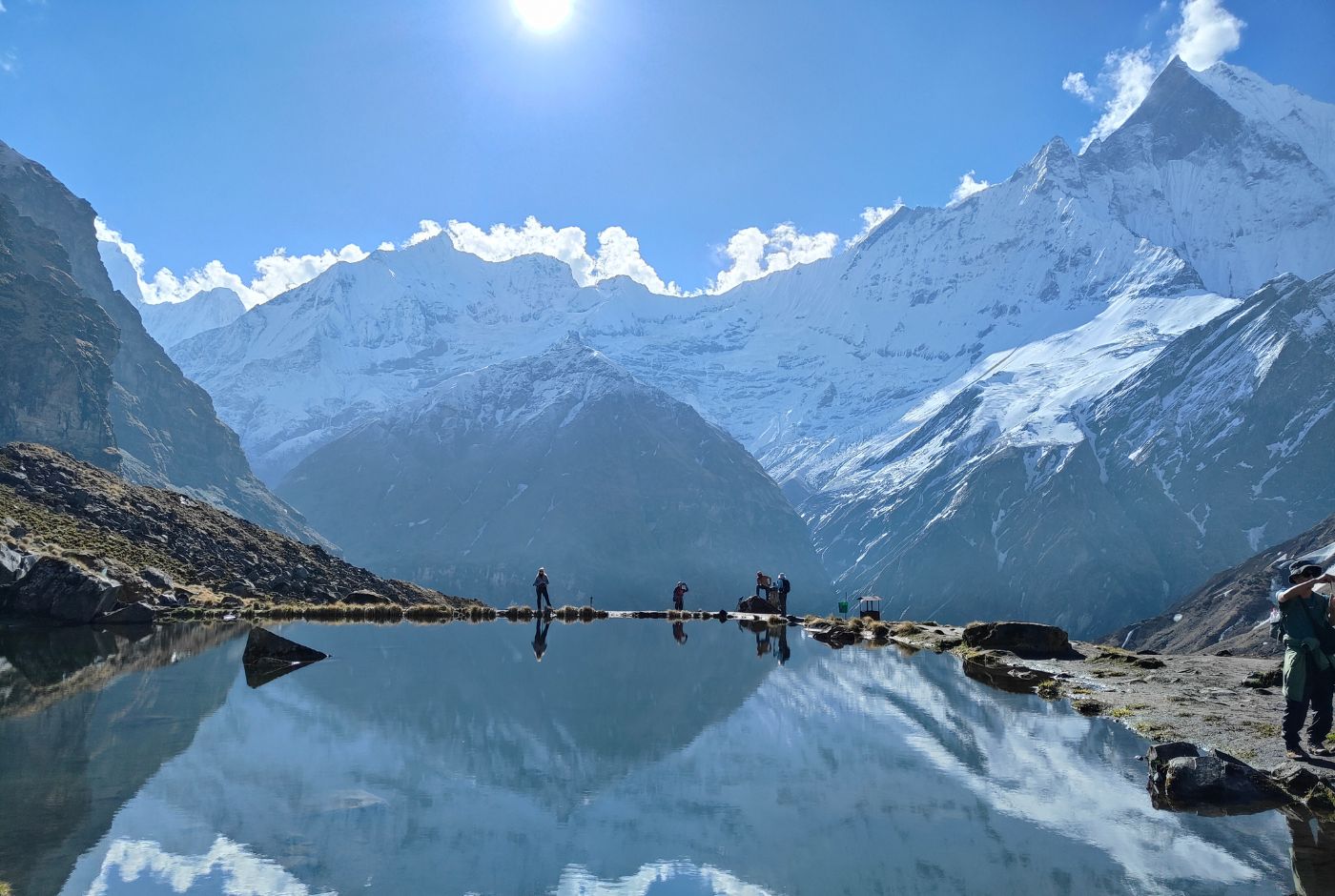
Day 9: Annapurna Base Camp to Bamboo
Distance: About 12 to 13 km | Elevation Loss: -1,600 m | Duration: 6 to 7 hours
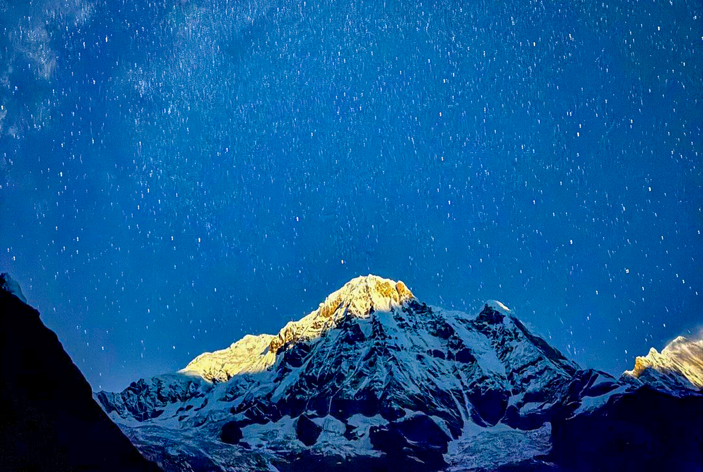
The descent from Annapurna Base Camp covers the same high Sanctuary terrain in reverse. The route passes back through Machhapuchhre Base Camp and Deurali before descending through the Himalaya teahouse and forested valley to Bamboo at approximately 2,350 meters. The descent involves a significant elevation loss and places sustained demand on the legs. Pacing the descent carefully protects the knees on the longer downhill sections.
Day 10: Bamboo to Jhinu Danda
Distance: About 9 to 10 km | Elevation Loss: -500 m | Duration: 5 to 6 hours
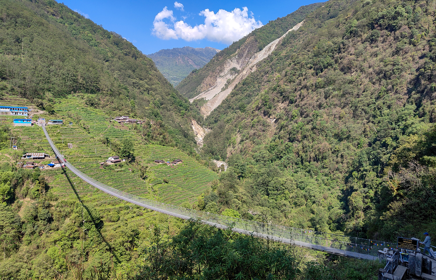
From Bamboo, the trail continues through forest and past small villages to reach Jhinu Danda at approximately 1,780 meters. The walk passes through Sinuwa and crosses several suspension bridges over the Modi River valley. Jhinu Danda is known for its natural hot springs beside the Modi River, which provide a welcome recovery opportunity after several days of continuous trekking.
Day 11: Jhinu Danda to Road Point, Drive to Pokhara
Distance: About 3 to 5 km trekking to vehicle point | Duration: 1 to 2 hours walking, then 2 to 3 hours drive
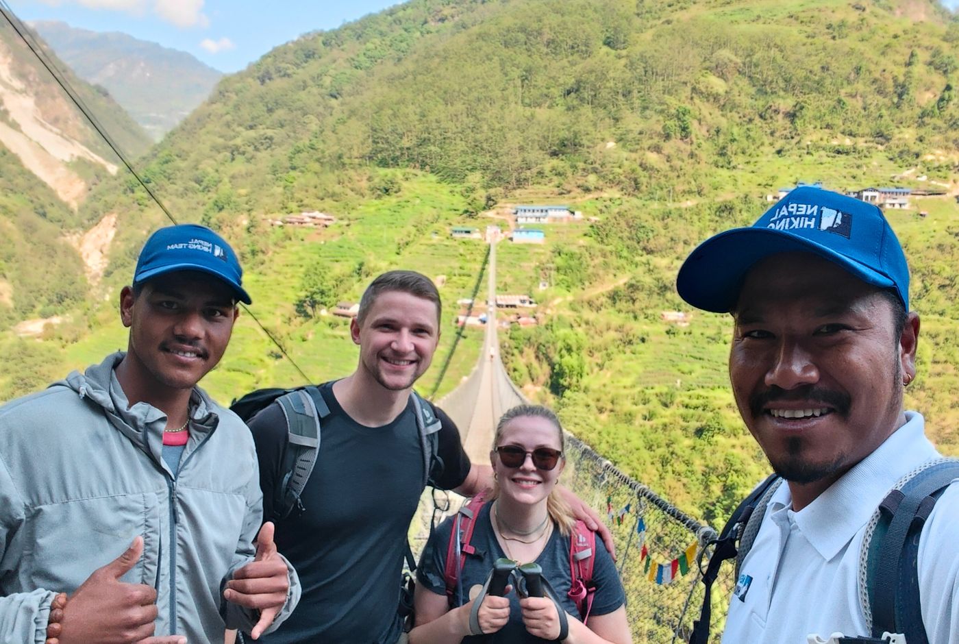
The final trekking section leads from Jhinu Danda through terraced fields and small villages to the road point, where a vehicle waits for the return drive to Pokhara. The drive back to Pokhara takes approximately 2 to 3 hours depending on road conditions. Arriving in Pokhara marks the end of the Annapurna Base Camp trek, and an evening by Phewa Lake offers a quiet and fitting way to reflect on the route completed over the preceding days.
ABC Trek Distance in Practice: Field Stories from the Trail
Distance figures show how far the Annapurna Base Camp route goes, while field stories show how each walking day actually feels on the trail. Together, this series of daily logging will connect the numbers with terrain, altitude, pacing, fatigue, and real trekking experience.
- Getting the Band Back Together: This opening story introduces the trek, the guide, the porter, and the practical reality of walking the Annapurna Base Camp route with Nepal Hiking Team before the daily distance sections begin.
- Jhinu Danda to Lower Sinuwa: This section covers the first major walking stage from Jhinu Danda toward Lower Sinuwa and helps readers understand how the lower ABC trail feels at the start of the trek.
- Lower Sinuwa to Deurali: This story follows the climb through Upper Sinuwa, forest trails, Bamboo, Dovan, Himalaya, and onward to Deurali, showing how distance combines with steady elevation gain.
- Deurali to Annapurna Base Camp: This section covers the higher trail from Deurali through Machhapuchhre Base Camp to Annapurna Base Camp, where altitude and terrain make a shorter distance feel more demanding.
- Annapurna Base Camp to Chhomrong: This return section shows how the long descent from ABC toward Chhomrong affects the legs, especially after reaching the highest point of the trek at 4,130 meters.
- Chhomrong to Jhinu Danda: This final story covers the last walking stage back toward Jhinu Danda, helping readers understand how the route finishes after several demanding trekking days.
Annapurna Base Camp Trek Distance from Various Locations
| Starting Point | Approximate Distance Context | Notes |
|---|---|---|
| Kathmandu to ABC | About 204 km by road to Pokhara, then about 35 to 65 km trekking one way depending on trailhead and route | Road travel and trekking distance are separate segments; the total journey is multi-day and multi-modal |
| Pokhara to Annapurna Base Camp | Road transfer to the trailhead, then about 35 to 65 km trekking one way depending on route | Road section is a vehicle transfer to the trailhead; actual ABC trekking distance depends on route chosen |
| Birethanti to Annapurna Base Camp | About 55 to 65 km one way if routed through Ghorepani and Poon Hill | Longer classic approach with the lower trail, Ghorepani, Poon Hill, Chhomrong, Deurali, MBC, and ABC |
| Jhinu Danda to ABC | About 28 to 35 km one way, or roughly 56 to 70 km round trip depending on exact route and road point | Shortest common trekking route to ABC; ascends via Chhomrong, Bamboo, Deurali, and MBC |
| Machhapuchhre Base Camp to ABC | About 3 to 4 km one way | Final section before reaching ABC; open glacial terrain with steady altitude gain |
| Ghorepani to Annapurna Base Camp | About 45 km one way | Via Tadapani or Chuile, Chhomrong, Bamboo, Dovan, Deurali, MBC, and ABC |
How to Plan Your Walking Days on the Annapurna Base Camp Trek
Planning the Annapurna Base Camp trek distance properly matters more than walking fast. Most trekking days cover 5 to 13 kilometers, but the actual difficulty of each day depends on the terrain, the elevation gain, and how the body is responding after several consecutive days on the trail. A short day with steep stone steps around Ulleri or Chhomrong can feel harder on the legs than a longer walk through gradual forest terrain. Distance alone does not capture the full picture.
Above Deurali, the trail enters higher alpine terrain and walking speed naturally slows. The reduced oxygen at altitude affects pace, breathing, and recovery between steps. The final section from Machhapuchhre Base Camp to Annapurna Base Camp is only about 3 to 4 kilometers, but the altitude at 4,130 meters makes slow and steady movement important. Trekkers choosing the shorter route from Jhinu Danda or Matkiu should still plan the ascent through the Sanctuary with care, because a shorter overall route does not reduce the altitude challenge above Deurali.
A route with Ghorepani and Poon Hill adds distance, but it also gives the body a steadier rhythm before entering the Annapurna Conservation Area (Annapurna Sanctuary). The additional walking days in the lower section help trekkers settle into the walking rhythm before entering the higher Annapurna Sanctuary. For trekkers with enough time, this extra distance often results in a more comfortable arrival at high altitude than a compressed schedule from a shorter trailhead.
Conclusion
The Annapurna Base Camp trek distance is approximately 70 to 95 kilometres round-trip. The route can be shorter or longer depending on the chosen trailhead and whether Ghorepani and Poon Hill are included. Shorter routes from Jhinu Danda or Matkiu are around 70 kilometres, while classic routes through Ghorepani are about 90 to 95 kilometres.
The distance is manageable for prepared trekkers who pace the walking days well and choose a route that fits their time and fitness level. The challenge of the ABC route comes not from any single dramatic section but from the accumulated effort of daily walking, the stone steps at Ulleri and Chhomrong, the altitude gain above Deurali, and the final approach to Annapurna Base Camp at 4,130 meters.
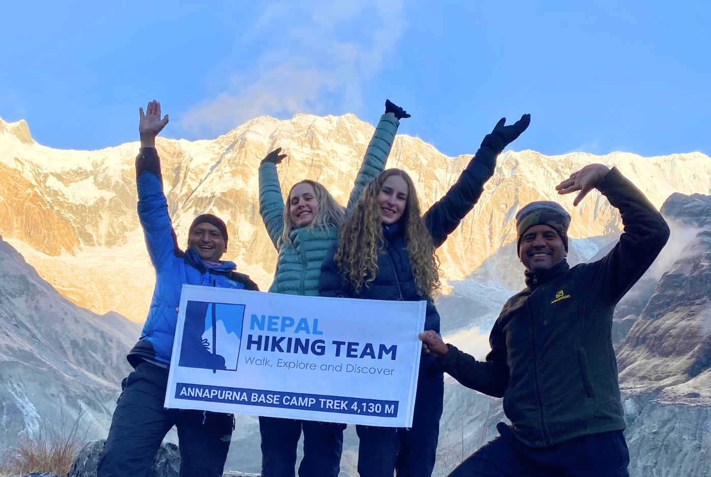
Nepal Hiking Team is a local operator with field knowledge of every section of the Annapurna Base Camp route. We help trekkers choose the right trailhead, plan realistic walking days, and match the itinerary to the season, group pace, and available time. Our guides know the trail in all conditions and plan each day with safe altitude gain and guest comfort in mind.
Post a Comment